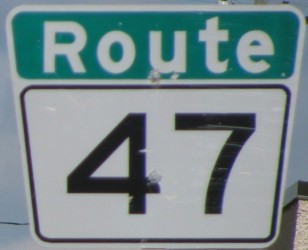
Metro Route 47
 |
|
Pictures are arranged from east to west. Click here to show the route.
;)
| Route 47 ends at Route 42 (Disraeli Freeway). Click here for Route 42 images. | ||||
| Location | Description | Photo
| ||
| Route 47 meets Route 52 at Main Street. Click here for Route 52 images. | ||||
| City of Winnipeg |
Westbound view on Logan Avenue at Salter Street.  Photograph taken in March 2010. |
;) |
||
| Route 47 meets Route 62 at Salter and Isabel Streets. Click here for Route 62 images. | ||||
| City of Winnipeg |
Westbound view on Logan Avenue approaching Stanley Street. Photograph taken in March 2012. |
;) |
||
| City of Winnipeg |
Westbound view on Logan Avenue at Arlington Street. This intersection is known more informally as “L.A.” - Logan at Arlington. Photograph taken in April 2010. |
;) |
||
| City of Winnipeg |
Westbound view on Logan Avenue showing the new reassurance marker past Arlington Street. Photograph taken in March 2012. |
;) |
||
| City of Winnipeg |
Westbound view on Logan Avenue approaching McPhillips Street. Photograph taken in March 2012. |
;) |
||
| Route 47 meets Route 180 at McPhillips Street. Click here for Route 180 images. | ||||
| City of Winnipeg |
Westbound view on Logan Avenue near King Edward Street. Photograph taken in June 2009. |
;) |
||
| Route 47 ends at Route 90 (King Edward Street). Click here for Route 90 images. | ||||
© Curtis Walker. All rights reserved. All pictures used on this site are the property of the respective photographers and are used by permission. No picture may be used without the consent of the respective photographer.
All pictures taken by Curtis Walker unless otherwise noted.