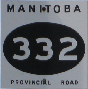
Provincial Road 332
 |
|
Pictures are arranged from north to south. Click here to show the route.
;)
| PR 332 ends at PTH 1 north of Dacotah. Click here for PTH 1 images. | ||||
| Location | Description | Photo
| ||
| RM of Cartier |
Southbound view showing the first southbound marker. In the distance is the village of Dacotah. At this spot, any Canadian can honestly say that they are in North Dacotah without needing to show a passport.  Photograph taken in June 2009. |
;) |
||
| RM of Cartier |
Southbound view showing a closeup of the first southbound marker. Photograph taken in June 2009. |
;) |
||
| RM of Cartier |
Southbound view showing the first southbound marker, which now features the new “warthog”-style buffalo. Photograph taken in July 2010. |
;) |
||
| RM of Cartier |
Southbound view showing a closeup of the first southbound marker, which now features the new “warthog”-style buffalo. Photograph taken in July 2010. |
;) |
||
| RM of Cartier |
Northbound view at the junction of PTH 1. Photograph taken in June 2009. |
;) |
||
| RM of Cartier |
Northbound view at the junction of PTH 1 showing the closeup of the markers. Photograph taken in June 2009. |
;) |
||
| RM of Cartier |
Northbound view showing the advance signage for the junction of PTH 1. Photograph taken in July 2010. |
;) |
||
| RM of Cartier |
Northbound view showing a closeup of the advance signage for the junction of PTH 1. Photograph taken in July 2010. |
;) |
||
| RM of Cartier |
Southbound view entering Dacotah. Photograph taken in July 2010. |
;) |
||
| RM of Cartier |
Southbound view entering Dacotah. Photograph taken in July 2010. |
;) |
||
| RM of Cartier |
Northbound view leaving Dacotah. Photograph taken in July 2010. |
;) |
||
| RM of Cartier |
Southbound view approaching a railway crossing. Photograph taken in July 2010. |
;) |
||
| RM of Cartier |
Northbound view past the railway crossing. Photograph taken in July 2010. |
;) |
||
| RM of Cartier |
Southbound view showing the sign giving the distances to Starbuck and Brunkild. Photograph taken in July 2010. |
;) |
||
| RM of Cartier |
Northbound view approaching a railway crossing. Photograph taken in July 2010. |
;) |
||
| RM of Cartier |
Northbound view entering Dacotah. Photograph taken in July 2010. |
;) |
||
| PR 332 meets PTH 2 in Starbuck. Click here for PTH 2 images. | ||||
| PR 332 meets PR 247 west of Sanford. Click here for PR 247 images. | ||||
| PR 332 meets PTH 3 in Brunkild. Click here for PTH 3 images. | ||||
| PR 332 meets PR 305 in Brunkild. Click here for PR 305 images. | ||||
| PR 332 meets PR 205 east of Sperling. Click here for PR 205 images. | ||||
| PR 332 meets PTH 23 in Lowe Farm. Click here for PTH 23 images. | ||||
| PR 332 ends at PTH 14/30 south of Rosenfeld. Click here for PTH 14 images and here for PTH 30 images. | ||||
© Curtis Walker. All rights reserved. All pictures used on this site are the property of the respective photographers and are used by permission. No picture may be used without the consent of the respective photographer.
All pictures taken by Curtis Walker unless otherwise noted.