|
Pictures are arranged from west to east. Click here to show the route.
;)
| Location | Description | Photo
| ||
| PR 205 meets PR 332 east of Sperling. Click here for PR 332 images. | ||||
| PR 205 meets PR 422 west of Rosenort. Click here for PR 422 images. | ||||
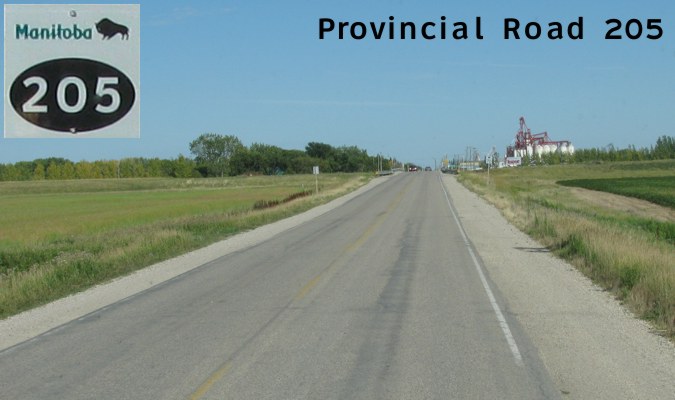
| RM of Morris |
Eastbound view past the junction of PR 422.  Photograph taken in August 2011. |
;) |
||
| RM of Morris |
Eastbound view approaching Rosenort. Photograph taken in August 2011. |
;) |
||
| RM of Morris |
Eastbound view approaching Rosenort. Photograph taken in August 2011. |
;) |
||
| RM of Morris |
Eastbound view entering Rosenort. Photograph taken in August 2011. |
;) |
||
| RM of Morris |
Eastbound view approaching the turnoff to the Rosenort Arena. Photograph taken in August 2011. |
;) |
||
| RM of Morris |
Eastbound view approaching Brandt Street. Photograph taken in August 2011. |
;) |
||
| RM of Morris |
Eastbound view crossing a bridge. Photograph taken in August 2011. |
;) |
||
| RM of Morris |
Eastbound view approaching River Road North. Photograph taken in August 2011. |
;) |
||
| RM of Morris |
Eastbound view near Loewen Avenue. Photograph taken in August 2011. |
;) |
||
| RM of Morris |
Eastbound view leaving Rosenort. Photograph taken in August 2011. |
;) |
||
| RM of Morris |
Eastbound view leaving Rosenort. Photograph taken in August 2011. |
;) |
||
| RM of Morris |
Eastbound view approaching Road 2E. Photograph taken in August 2011. |
;) |
||
| RM of Morris |
Eastbound view approaching Road 3E. Photograph taken in August 2011. |
;) |
||
| RM of Morris |
Eastbound view showing the advance signage for the junction of PR 330. Photograph taken in August 2011. |
;) |
||
| RM of Morris |
Eastbound view approaching the junction of PR 330. Photograph taken in August 2011. |
;) |
||
| RM of Morris |
Eastbound view approaching the junction of PR 330. Photograph taken in August 2011. |
;) |
||
| PR 205 meets PR 330 east of Rosenort. Click here for PR 330 images. | ||||
| RM of Morris |
Eastbound view showing the reassurance marker past the junction of PR 330. Photograph taken in August 2011. |
;) |
||
| RM of Morris |
Eastbound view approaching Road 5E. Photograph taken in August 2011. |
;) |
||
| RM of Morris |
Eastbound view approaching Road 6E. Photograph taken in August 2011. |
;) |
||
| RM of Morris |
Eastbound view approaching Road 6E. Photograph taken in August 2011. |
;) |
||
| RM of Morris |
Eastbound view approaching Road 7E. Photograph taken in August 2011. |
;) |
||
| RM of Morris |
Eastbound view approaching a railway crossing past Road 7E. Photograph taken in August 2011. |
;) |
||
| RM of Morris |
Eastbound view approaching a railway crossing past Road 7E. Photograph taken in August 2011. |
;) |
||
| RM of Morris |
Eastbound view approaching the junction of PTH 75. Strangely, there is no advance signage for one of Manitoba's most prominent highways. Photograph taken in August 2011. |
;) |
||
| RM of Morris |
Eastbound view approaching the junction of PTH 75. Photograph taken in August 2011. |
;) |
||
| RM of Morris |
Eastbound view approaching the junction of PTH 75. Photograph taken in August 2011. |
;) |
||
| RM of Morris |
Eastbound view at the junction of PTH 75. Photograph taken in August 2011. |
;) |
||
| RM of Morris |
Eastbound view in the median of PTH 75. Photograph taken in August 2011. |
;) |
||
| PR 205 meets PTH 75 near Aubigny. Click here for PTH 75 images. | ||||
| PR 205 meets PR 200 east of Aubigny. Click here for PR 200 images. | ||||
| PR 205 meets PTH 59 in St. Pierre-Jolys. Click here for PTH 59 images. | ||||
| PR 205 ends at PTH 12 east of Sarto. Click here for PTH 12 images. | ||||
© Curtis Walker. All rights reserved. All pictures used on this site are the property of the respective photographers and are used by permission. No picture may be used without the consent of the respective photographer.
All pictures taken by Curtis Walker unless otherwise noted.