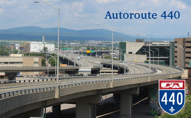
Québec
|
Western Segment
Western Terminus: Junction of A-40/A-73 in Québec. Eastern Terminus: Intersection of Rue Cyrille-Duquet/Rue Frank-Carrel at Boulevard Charest in Québec. Eastern Segment Western Terminus: Junction of Route 175 in Québec. Eastern Terminus: Junction of A-40 in Québec. Click here to show the western segment and here to show the eastern segment. |
;)
;)
Pictures are arranged from west to east.
| Location | Description | Photo
| ||
| Ville de Québec |
A look at the reference marker at the entrance to this segment of A-440.  Photograph taken in July 2019. |
;) |
||
| Ville de Québec |
Northbound view showing a closeup of the overhead signage at the entrance to this segment of A-440. Photograph taken in July 2019. |
;) |
||
| Ville de Québec |
Northbound view past Côte de la Potasse. Photograph taken in July 2019. |
;) |
||
| Ville de Québec |
Northbound view approaching the Boulevard des Capucins exit. Photograph taken in June 2023. |
;) |
||
| Ville de Québec |
Northbound view at the Boulevard des Capucins exit. Photograph taken in June 2023. |
;) |
||
| Ville de Québec |
Eastbound view passing the Boulevard des Capucins exit. Photograph taken in June 2023. |
;) |
||
| Ville de Québec |
Eastbound view approaching the Boulevard Henri-Bourassa/Avenue D’Estimauville exit. Photograph taken in June 2023. |
;) |
||
| Ville de Québec |
Eastbound view passing the Boulevard Henri-Bourassa/Avenue D’Estimauville exit. Photograph taken in June 2023. |
;) |
||
| Ville de Québec |
Eastbound view showing the 2 km advance signage for the Boulevard François-De Laval intersection. Despite being an autoroute, there is still an at-grade intersection with traffic lights. Photograph taken in June 2023. |
;) |
||
| Ville de Québec |
Eastbound view showing the sign indicating entry into Beauport, Québec’s easternmost suburb. Photograph taken in June 2023. |
;) |
||
| Ville de Québec |
Eastbound view approaching Boulevard François-De Laval. Photograph taken in June 2023. |
;) |
||
| Ville de Québec |
Eastbound view approaching Boulevard François-De Laval. Photograph taken in June 2023. |
;) |
||
| Ville de Québec |
Eastbound view approaching Boulevard François-De Laval. Photograph taken in June 2023. |
;) |
||
| Ville de Québec |
Eastbound view approaching Boulevard François-De Laval. Photograph taken in June 2023. |
;) |
||
| Ville de Québec |
Eastbound view showing the marker past Boulevard François-De Laval. Photograph taken in June 2023. |
;) |
||
| Ville de Québec |
Eastbound view approaching the Boulevard des Chutes/Rue du Manège exit. Photograph taken in June 2023. |
;) |
||
| Ville de Québec |
Eastbound view approaching the Boulevard des Chutes/Rue du Manège exit. Photograph taken in June 2023. |
;) |
||
| Ville de Québec |
Eastbound view passing the Boulevard des Chutes/Rue du Manège exit. Photograph taken in June 2023. |
;) |
||
| Ville de Québec |
Eastbound view passing the Boulevard des Chutes/Rue du Manège exit. Photograph taken in June 2023. |
;) |
||
| Ville de Québec |
Eastbound view approaching the A-40 west exit. Photograph taken in June 2023. |
;) |
||
| Ville de Québec |
Eastbound view approaching the A-40 west exit. Photograph taken in June 2023. |
;) |
||
| Ville de Québec |
Eastbound view approaching the A-40 west exit. Photograph taken in June 2023. |
;) |
||
| Ville de Québec |
Eastbound view at the A-40 west exit. Photograph taken in June 2023. |
;) |
||
© Curtis Walker. All rights reserved. All pictures used on this site are the property of the respective photographers and are used by permission. No picture may be used without the consent of the respective photographer.
All pictures taken by Curtis Walker unless otherwise noted.