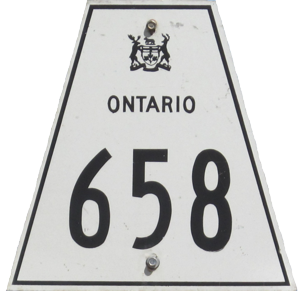
Secondary Highway 658
 |
Secondary Highway 658 begins at the roundabout at King's Highway 17 (Lakeview Drive/Main Street) in Kenora and proceeds north to Redditt, ending at the VIA train station north of the community. Click here to show the route. Historical Note: Prior to 1985, this route was known as Secondary Highway 666. For more information, please check TheKingsHighway.ca. |
;)
Pictures are arranged south to north.
| Location | Description | Photo
| ||
| City of Kenora |
The sign for Veterans Drive on the north end of the roundabout at Lakeview Drive/Main Street.  Photograph taken in July 2013. |
;) |
||
| City of Kenora |
Northbound view on Rupert Road showing the first reassurance marker. Photograph taken in July 2013. |
;) |
||
| City of Kenora |
Southbound view on Rupert Road approaching the railway underpass before the roundabout at Lakeview Drive/Main Street. Photograph taken in July 2013. |
;) |
||
| City of Kenora |
Southbound view on Rupert Road showing the advance signage for the roundabout at Lakeview Drive/Main Street. Photograph taken in July 2013. |
;) |
||
© Curtis Walker. All rights reserved. All pictures used on this site are the property of the respective photographers and are used by permission. No picture may be used without the consent of the respective photographer.
All pictures taken by Curtis Walker unless otherwise noted.