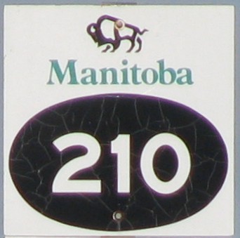
Provincial Road 210
 |
|
Pictures are arranged from west to east. Click here to show the route.
;)
| PR 210 ends at PTH 75 west of St. Adolphe. Click here for PTH 75 images. | ||||
| Location | Description | Photo
| ||
| RM of Ritchot |
Eastbound view at the junction of PTH 75.  Photograph taken in July 2014. |
;) |
||
| RM of Ritchot |
Westbound view at the junction of PTH 75. The road continues west as Road 46N towards Victory Lanes, formerly known as Winnipeg Speedway. Photograph taken in June 2006. |
;) |
||
| RM of Ritchot |
Looking south at the sinking bridge over the Red River. Photograph taken in August 2009. |
;) |
||
| RM of Ritchot |
Looking north at the sinking bridge over the Red River. Photograph taken in August 2009. |
;) |
||
| RM of Ritchot |
Eastbound view approaching the junction of PR 200. Photograph taken in August 2005. |
;) |
||
| RM of Ritchot |
Eastbound view approaching the junction of PR 200. Photograph taken in August 2005. |
;) |
||
| RM of Ritchot |
Eastbound view at the junction of PR 200. Photograph taken in August 2005. |
;) |
||
| RM of Ritchot |
Westbound view showing the first marker west of the junction of PR 200. Photograph taken in August 2009. |
;) |
||
| PR 210 meets PR 200 in St. Adolphe. Click here for PR 200 images. | ||||
| RM of Ritchot |
Westbound view at the junction of PR 200. Photograph taken in August 2009. |
;) |
||
| RM of Ritchot |
Eastbound view east of the junction of PR 200. Photograph taken in August 2009. |
;) |
||
| PR 210 meets PTH 59 south of Île des Chênes. Click here for PTH 59 images. | ||||
| RM of Ritchot |
Westbound view at the junction of PTH 59. Photograph taken in June 2007. |
;) |
||
| PR 210 meets PR 206 in the RM of Taché. Click here for PR 206 images. | ||||
| PR 210 meets PTH 12 south of Ste. Anne. Click here for PTH 12 images. | ||||
| PR 210 meets PR 207 in Ste. Anne. Click here for PR 207 images. | ||||
| PR 210 meets PR 302 in La Broquerie. Click here for PR 302 images. | ||||
| PR 210 ends at PTH 12. Click here for PTH 12 images. | ||||
© Curtis Walker. All rights reserved. All pictures used on this site are the property of the respective photographers and are used by permission. No picture may be used without the consent of the respective photographer.
All pictures taken by Curtis Walker unless otherwise noted.