 |
Western Terminus: Intersection of Rue Montcalm in Gatineau.
Eastern Terminus: Junction of R-117 near Mirabel. Click here to show the route. |
;)
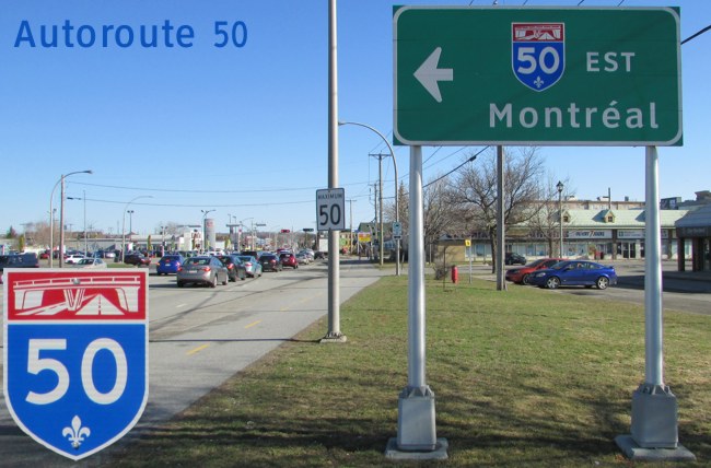
Pictures are arranged from west to east.
| Location | Description | Photo
| ||
| Ville de Gatineau |
Eastbound view on Rue Montcalm showing the advance signage for A-50.  Photograph taken in April 2017. |
;) |
||
| Ville de Gatineau |
Westbound view on Rue Montcalm showing the advance signage for A-50. Photograph taken in April 2016. |
;) |
||
| Ville de Gatineau |
Northbound view from Rue Montcalm at A-50's western terminus. Photograph taken in April 2016. |
;) |
||
| Ville de Gatineau |
Northbound view from Rue Montcalm at A-50's western terminus. Photograph taken in April 2017. |
;) |
||
| Ville de Gatineau |
Southbound view from Boulevard des Allumettières showing the overhead signage at Exit 134-E. In the distance are the Terrasses de la Chaudière, a complex of government buildings for neighboring Canada. Photograph taken in April 2016. |
;) |
||
| Ville de Gatineau |
Southbound view from le Sentier du Ruisseau-de-la-Brasserie showing the overhead signage for Exit 134 as well as the 500 m advance signage for the end of A-50. Photograph taken in April 2016. |
;) |
||
| Ville de Gatineau |
Northbound view from le Sentier du Ruisseau-de-la-Brasserie showing the advance signage for the junction of A-5. Photograph taken in April 2016. |
;) |
||
| Ville de Gatineau |
Northbound view from le Sentier du Ruisseau-de-la-Brasserie showing the first eastbound reassurance marker for A-50. Photograph taken in April 2016. |
;) |
||
| Ville de Gatineau |
Looking southwest at the Pont des Draveurs that carries A-50 traffic over the Gatineau River. The bridge is one of only four over the river in the Gatineau area. Photograph taken in May 2018. |
;) |
||
| Ville de Gatineau |
Eastbound view on Rue de Turin showing the sign at the approach to A-50 west. At right is the Station de la Gappe, one of the stops along the STO Rapibus corridor. Photograph taken in May 2018. |
;) |
||
| Ville de Gatineau |
Eastbound view on Boulevard de la Gappe showing the sign near the approach to A-50 east. At right is STO's Rapibus corridor and Boulevard Maloney/R-148. Photograph taken in May 2018. |
;) |
||
| Ville de Gatineau |
Northbound view on Boulevard Gréber approaching Boulevard de la Gappe showing the sign for the approach to A-50 east. Photograph taken in April 2016. |
;) |
||
| Ville de Gatineau |
Southbound view from atop the overpass at Boulevard la Vérendrye. In the distance is the skyline of neighboring Ottawa, Canada. Photograph taken in May 2018. |
;) |
||
| Ville de Gatineau |
Westbound view on Boulevard la Vérendrye showing the sign at the approach to A-50 west. Photograph taken in May 2018. |
;) |
||
| Ville de Gatineau |
Westbound view on Boulevard la Vérendrye showing the trailblazer marker at the approach to A-50 west. Photograph taken in May 2018. |
;) |
||
| Ville de Gatineau |
Northbound view from atop the overpass at Boulevard la Vérendrye. Photograph taken in May 2018. |
;) |
||
© Curtis Walker. All rights reserved. All pictures used on this site are the property of the respective photographers and are used by permission. No picture may be used without the consent of the respective photographer.
All pictures taken by Curtis Walker unless otherwise noted.