Provincial Trunk Highway 8
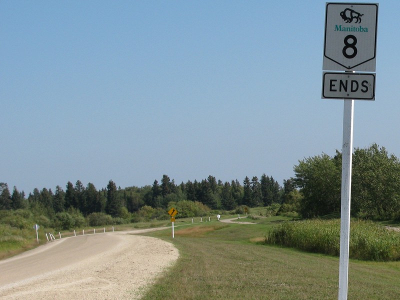 |
| PTH 8's northern terminus on Hecla Island |
 |
PTH 8 runs south-north and is a major access route from Winnipeg to cottage country along Lake Winnipeg, ending in Hecla/Grindstone Provincial Park. The route does not go through any towns, though it does pass very close to Gimli and Riverton, making it a preferred route over PTH 9, where motorists are officially supposed to reduce speeds as they pass through Clandeboye, Petersfield, Winnipeg Beach and Sandy Hook on their way to Gimli.
The route is twinned from PTH 101 north past PR 230, where it narrows to a two-lane highway for the rest of its length except for a brief stretch near PR 231 west of Gimli. Click here to show the route. On June 6, 2005, the 61st anniversary of D-Day, PTH 8 was officially designated as Veterans Memorial Highway “to honour the contributions and sacrifices of Canada's military service veterans.” Southern Terminus: Junction of PTH 101 and Route 180 (McPhillips Street) in the RM of West St. Paul. Northern Terminus: North of Hecla Village in Hecla/Grindstone Provincial Park. Multiplexes: None. |
;)
Images of PTH 8:
| Winnipeg to Gimli |
| Gimli to Hecla/Grindstone Provincial Park |
| Hecla/Grindstone Provincial Park |
Time lapse video driving northbound on PTH 8 between Winnipeg and Gimli:
Time lapse video driving southbound on PTH 8 between Gimli and Winnipeg:
Detailed Route Guide
| Municipality | Distance (km) | |
| RM of West St. Paul | 0.0 | Junction of PTH 101/Route 180. |
| RM of West St. Paul | 1.1 | Junction of PR 220/Grassmere Road. There is a traffic light at this intersection. |
| RM of West St. Paul | 5.5 | Junction of PR 321/Miller Road. |
| RM of St. Andrews | 8.3 | Junction of PTH 27/Parkdale Road. |
| RM of St. Andrews | 10.1 | Junction of PR 230/McPhillips Road. |
| RM of St. Andrews | 18.0 | Junction of PTH 67. |
| RM of St. Andrews | 29.6 | Junction of Road 84N/Clandeboye Road. This is the former PR 515. |
| RM of St. Andrews | 36.1 | Junction of Road 88N/Petersfield Road. This is the former PR 413. |
| RM of St. Andrews | 46.0 | Junction of PTH 17. |
| RM of St. Andrews | 52.6 | Junction of PR 225. |
| RM of St. Andrews | 59.9 | Junction of PR 229. This is Road 102N that serves as the boundary between the RM of St. Andrews and the RM of Gimli. |
| RM of Gimli | 63.3 | Junction of PR 519. |
| RM of Gimli | 73.2 | Intersection of Gimli Park Road (Road 110N). This is the first of two Gimli “exits” as specified on the highway. |
| RM of Gimli | 74.8 | Junction of PR 231/Road 111N. This is the second of two Gimli “exits”. |
| RM of Gimli | 83.0 | Junction of PR 324/Camp Morton Road (Road 116N). |
| RM of Gimli | 94.5 | Intersection of Boundary Road/Road 123N. This road serves as the boundary between the RM of Gimli and the RM of Bifrost. |
| RM of Bifrost | 104.2 | Junction of PTH 68. |
| RM of Bifrost | 114.1 | Junction of PR 329. |
| RM of Bifrost | 126.3 | Junction of PR 234. |
| RM of Bifrost | 132.7 | Intersection of Grindstone Road. This road follows the boundary of Hecla/Grindstone Provincial Park. |
| Hecla/Grindstone Provincial Park | 143.2 | The park gate for Hecla/Grindstone Provincial Park. |
| Hecla/Grindstone Provincial Park | 154.1 | Southern intersection of Hecla Village Road. |
| Hecla/Grindstone Provincial Park | 161.1 | Northern intersection of Hecla Village Road. |
| Hecla/Grindstone Provincial Park | 161.3 | Northern terminus of PTH 8. |
© Curtis Walker. All rights reserved. All pictures used on this site are the property of the respective photographers and are used by permission. No picture may be used without the consent of the respective photographer.
All pictures taken by Curtis Walker unless otherwise noted.