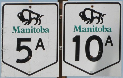
Provincial Trunk Highway 5A/10A
Dauphin City Route
 |
|
Pictures are arranged from south to north. Click here to show the route.
;)
| PTH 5A/10A ends at PTH 5/10 south of Dauphin. Click here for PTH 5 images and here for PTH 10 images. | ||||
| Location | Description | Photo
| ||
| City of Dauphin |
Southbound view on Main Street at 3rd Avenue South.  Photograph taken in July 2010. |
;) |
||
| City of Dauphin |
Northbound view on Main Street near Memorial Boulevard. Photograph taken in July 2010. |
;) |
||
| City of Dauphin |
Northbound view on Main Street showing the advance signage for the junction of PTH 20A. Pictured here is the shuttle bus provided by Intermountain Leasing and Bus Charters taking visitors to and from Selo Ukraina, located several miles south of Dauphin, which is the site of Canada's National Ukrainian Festival. Photograph taken in July 2010. |
;) |
||
| City of Dauphin |
Northbound view on Main Street at 1st Avenue South. Photograph taken in July 2010. |
;) |
||
| City of Dauphin |
Northbound view on Main Street approaching 1st Avenue North and the junction of PTH 20A. Photograph taken in July 2010. |
;) |
||
| PTH 5A/10A meets PTH 20A at 1st Avenue North. Click here for PTH 20A images. | ||||
| City of Dauphin |
Southbound view on Main Street approaching 1st Avenue North. Photograph taken in July 2010. |
;) |
||
| City of Dauphin |
Northbound view on Main Street approaching 2nd Avenue North. This is one of the rare places in Canada where three “A” highways run together, albeit for only one block. Photograph taken in July 2010. |
;) |
||
| PTH 5A/10A meets PTH 20A at 2nd Avenue North. Click here for PTH 20A images. | ||||
| City of Dauphin |
Westbound view on 2nd Avenue North west of Main Street. Photograph taken in July 2010. |
;) |
||
| PTH 5A/10A ends at PTH 5/10 west of Dauphin. Click here for PTH 5 images and here for PTH 10 images. | ||||
© Curtis Walker. All rights reserved. All pictures used on this site are the property of the respective photographers and are used by permission. No picture may be used without the consent of the respective photographer.
All pictures taken by Curtis Walker unless otherwise noted.