 |
 |
|
 |
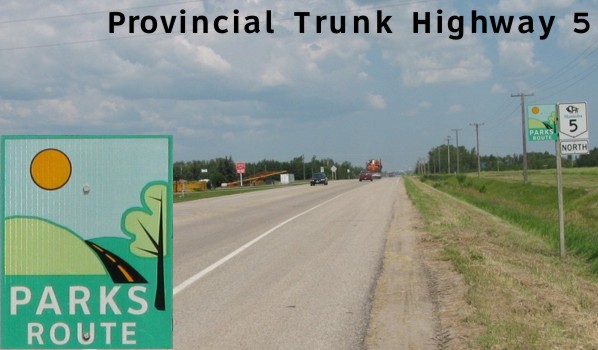
PTH 5 (Parks Route) serves the much of the western part of the province and is one of Manitoba's longest trunk highways. The route covers the Intermountain region between Roblin and Dauphin and proceeds east to Ste. Rose du Lac before turning south, passing around McCreary, through Neepawa, then on to Carberry and Glenboro, ending at the U.S. border south of Cartwright. Click here to show the route.
;)
Truckers needing to travel between Neepawa and Dauphin often prefer using PTH 5 ahead of PTH 10 through Riding Mountain National Park, where traffic must slow to speeds of 80 km/h.
The Parks Route designation follows PTH 5 for its entire length, but the ceremonial marker is only displayed near major intersections. For more information on the Parks Route and PTH 5, please visit parksroute.ca.
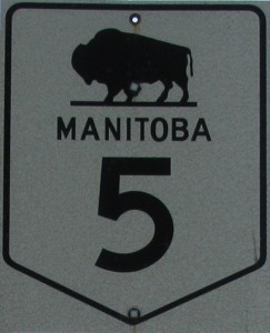
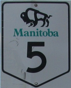
Images of PTH 5:
|
|
© Curtis Walker. All rights reserved. All pictures used on this site are the property of the respective photographers and are used by permission. No picture may be used without the consent of the respective photographer.
All pictures taken by Curtis Walker unless otherwise noted.