Provincial Road 204
|
PR 204 (Henderson Highway) runs south-north and follows the eastern side of the Red River from the junction of PTH 101 (Perimeter Highway) north to Selkirk. Click here to show the route.
|
|
|
|
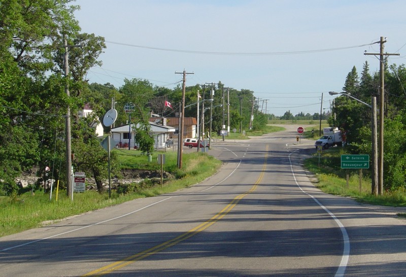
PR 204 is a two-lane undivided highway for its entire length except for a stretch between PTH 101 and Hoddinott Road in the RM of East St. Paul where there are two lanes in each direction. It crosses the Red River Floodway east of Lockport and crosses the Red River in Selkirk near its northern terminus.
|
|
|
|
There is a paved shoulder between PTH 101 and the junction of PTH 44 in Lockport and, combined with the light residential traffic, it makes for a popular cycling route. On weekends, many a cyclist will drive to and park at a lot along the Red River just north of PTH 101 and cycle to Lockport and back.
|
|
|
|
Unlike PR 238 on the west side of the Red River, PR 204 offers very few scenic views of the river, since there are upscale homes and many trees on that side of the highway that block most of the view.
|
|
|
|
Southern Terminus: Junction of PTH 101/Route 42 in the RM of East St. Paul.
|
|
|
|
Northern Terminus: Junction of PTH 9A (Main Street) in Selkirk.
|
|
|
|
Multiplexes: PR 204 follows PTH 44 across the bridge over the Red River Floodway east of Lockport.
|
|
|
|
Historical Note: The portion of the route between PTH 101 and PTH 44 was once designated as PTH 9 and was combined with PR 204 in 1968.
|
|
|
Images of PR 204:
- Page 1 - PTH 101 to Hoddinott Road
- Page 2 - Hoddinott Road to Ludwick Road
- Page 3 - Ludwick Road to Lockport
- Page 4 - Lockport to Selkirk
|
|
Detailed Route Guide
| RM of East St. Paul |
0.0 |
Junction of PTH 101/Route 42. |
| RM of East St. Paul |
0.1 |
Intersection of the off-ramp from PTH 101 and exit to westbound PTH 101. There is a traffic light at this intersection. |
| RM of East St. Paul |
0.8 |
Intersection of Southlands Drive. There is a traffic light at this intersection. |
| RM of East St. Paul |
1.3 |
Intersection of Eagle Creek Road. There is a traffic light at this intersection. |
| RM of East St. Paul |
3.0 |
Intersection of Hoddinott Road, the former PR 401. There is a traffic light at this intersection. |
| RM of St. Clements |
12.2 |
Intersection of Ludwick Road, the former PR 407. |
| RM of St. Clements |
16.9 |
Junction of PR 202. |
RM of St. Clements
Village of Lockport |
17.6 |
Junction of PTH 44. PR 204 follows PTH 44 east. |
| RM of St. Clements |
18.2 |
Northbound exit from PTH 44. |
| RM of St. Clements |
26.8 |
Junction of PR 509. |
| RM of St. Clements |
28.3 |
Junction of PR 212. |
| City of Selkirk |
30.0 |
Junction of PTH 9A/Main Street. There is a traffic light at this intersection. |
© Curtis Walker. All rights reserved. All pictures used on this site are the property of the respective photographers and are used by permission. No picture may be used without the consent of the respective photographer.
All pictures taken by Curtis Walker unless otherwise noted.
;)