|
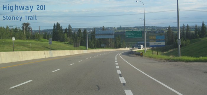
Highway 201, Stoney Trail, serves as a beltway around Calgary that will eventually encircle the city.
Western Terminus: Junction of Highway 1 (16 Avenue N) west of Canada Olympic Park. Eastern Terminus: Junction of Highway 2A (Macleod Trail) in Calgary. Click here to show the route. |
;)
Pictures are arranged from west to east.
| Highway 201 ends at Highway 1 in Calgary. Click here for Highway 1 images. | ||||
| Location | Description | Photo
| ||
| City of Calgary |
Northbound view approaching from the exit off westbound Highway 1.  Photograph taken in June 2013. |
;) |
||
| City of Calgary |
Northbound view approaching the bridge over the Bow River. Photograph taken in June 2013. |
;) |
||
| City of Calgary |
Northbound view showing the first reassurance markers. In Alberta, unlike many other jurisdictions, the markers on twinned highways are shown on both sides of the road. Photograph taken in June 2013. |
;) |
||
| City of Calgary |
Northbound view showing the advance signage for upcoming exits. Nose Hill Drive is incorrectly spelled as “Nosehill Dr.” on the sign. Photograph taken in June 2013. |
;) |
||
| City of Calgary |
Northbound view on the bridge over the Bow River. Photograph taken in June 2013. |
;) |
||
| City of Calgary |
Northbound view approaching the Nose Hill Drive exit. Photograph taken in June 2013. |
;) |
||
| City of Calgary |
Northbound view passing the Nose Hill Drive exit. Photograph taken in June 2013. |
;) |
||
| City of Calgary |
Northbound view approaching the Scenic Acres Link/Tuscany Boulevard exit. Photograph taken in June 2013. |
;) |
||
| City of Calgary |
Northbound view approaching the Scenic Acres Link/Tuscany Boulevard exit. Photograph taken in June 2013. |
;) |
||
| City of Calgary |
Northbound view showing the 500 m advance signage for the Crowchild Trail/Highway 1A exit. Photograph taken in June 2013. |
;) |
||
| City of Calgary |
Northbound view showing the 500 m advance signage for the Crowchild Trail/Highway 1A exit. Photograph taken in June 2013. |
;) |
||
| City of Calgary |
Northbound view approaching the Crowchild Trail/Highway 1A exit. Photograph taken in June 2013. |
;) |
||
| Highway 201 meets Highway 1A at Crowchild Trail in Calgary. Click here for Highway 1A images. | ||||
| City of Calgary |
Northbound view passing under a foot bridge near Crowchild Trail. Photograph taken in June 2013. |
;) |
||
| City of Calgary |
Northbound view passing under Crowchild Trail. Photograph taken in June 2013. |
;) |
||
| City of Calgary |
Eastbound view approaching the Country Hills Boulevard exit. Photograph taken in June 2013. |
;) |
||
| City of Calgary |
Eastbound view passing under Country Hills Boulevard. Photograph taken in June 2013. |
;) |
||
| City of Calgary |
Eastbound view showing the advance signage for the Sarcee Trail exit. Photograph taken in June 2013. |
;) |
||
| City of Calgary |
Eastbound view approaching the Sarcee Trail exit. Photograph taken in June 2013. |
;) |
||
| City of Calgary |
Eastbound view approaching the Sarcee Trail exit. Photograph taken in June 2013. |
;) |
||
| City of Calgary |
Eastbound view passing under Sarcee Trail. Photograph taken in June 2013. |
;) |
||
| City of Calgary |
Eastbound view passing the Sarcee Trail exit. Photograph taken in June 2013. |
;) |
||
| City of Calgary |
Eastbound view showing the advance signage for the Shaganappi Trail exit. Photograph taken in June 2013. |
;) |
||
| City of Calgary |
Eastbound view approaching the Shaganappi Trail exit. Photograph taken in June 2013. |
;) |
||
| City of Calgary |
Eastbound view passing under Shaganappi Trail. Photograph taken in June 2013. |
;) |
||
| City of Calgary |
Eastbound view passing the Shaganappi Trail exit. Photograph taken in June 2013. |
;) |
||
| City of Calgary |
Eastbound view showing the advance signage for the Beddington Trail/Symons Valley Road exit. Photograph taken in June 2013. |
;) |
||
| City of Calgary |
Eastbound view approaching the Beddington Trail/Symons Valley Road exit. Photograph taken in June 2013. |
;) |
||
| City of Calgary |
Eastbound view passing under Beddington Trail/Symons Valley Road. Photograph taken in June 2013. |
;) |
||
| City of Calgary |
Eastbound view passing the Beddington Trail/Symons Valley Road exit. Photograph taken in June 2013. |
;) |
||
| City of Calgary |
Eastbound view showing the reassurance markers past the Beddington Trail/Symons Valley Road exit. Photograph taken in June 2013. |
;) |
||
| City of Calgary |
Eastbound view approaching the 14 Street West exit. Photograph taken in June 2013. |
;) |
||
| City of Calgary |
Eastbound view approaching the Harvest Hills Boulevard/Centre Street North exit. Photograph taken in June 2013. |
;) |
||
| City of Calgary |
Eastbound view approaching the Harvest Hills Boulevard/Centre Street North exit. Photograph taken in June 2013. |
;) |
||
| City of Calgary |
Eastbound view passing the Harvest Hills Boulevard/Centre Street North exit. Photograph taken in June 2013. |
;) |
||
| City of Calgary |
Eastbound view past the Harvest Hills Boulevard/Centre Street North exit. Photograph taken in June 2013. |
;) |
||
| City of Calgary |
Eastbound view showing the 1 km advance signage for the Deerfoot Trail/Highway 2 exit. Photograph taken in June 2013. |
;) |
||
| City of Calgary |
Eastbound view approaching the Deerfoot Trail/Highway 2 exit. Photograph taken in June 2013. |
;) |
||
| City of Calgary |
Eastbound view on the off-ramp for the Deerfoot Trail/Highway 2 exit. Photograph taken in June 2013. |
;) |
||
| Highway 201 meets Highway 2 at Deerfoot Trail in Calgary. Click here for Highway 2 images. | ||||
© Curtis Walker. All rights reserved. All pictures used on this site are the property of the respective photographers and are used by permission. No picture may be used without the consent of the respective photographer.
All pictures taken by Curtis Walker unless otherwise noted.