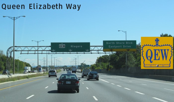
| Queen Elizabeth Way, more commonly known as the QEW, connects Toronto to the Niagara Peninsula. It circles around the “Golden Horseshoe” and makes its way through Hamilton, St. Catharines and Niagara Falls before ending in Fort Erie. |
| Northern Terminus: Junction of King's Highway 427/Gardiner Expressway in Toronto. |
| Southern Terminus: Peace Bridge at Fort Erie that connects to I-190 in Buffalo, NY. |
| Click here to show the route. |
;)
Images of Queen Elizabeth Way:
|
© Curtis Walker. All rights reserved. All pictures used on this site are the property of the respective photographers and are used by permission. No picture may be used without the consent of the respective photographer.
All pictures taken by Curtis Walker unless otherwise noted.