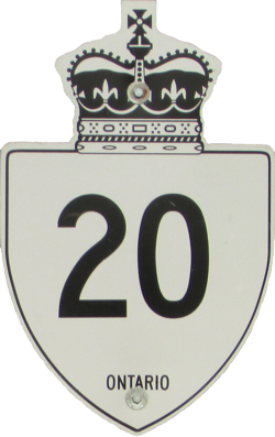
King's Highway 20
 |
|
King's Highway 20 once connected Niagara Falls to Hamilton, but the only section of the route still under provincial jurisdiction is a 1.9-kilometer stretch between Thorold Townline Road and Davis Road (King's Highway 58). The remainder of the former route was transferred to municipal control in 1998 and today is still known by the same number.
|
|
|
|
Current Eastern Terminus: Intersection of Thorold Townline Road east of Allanburg.
|
|
Current Western Terminus: Junction of King's Highway 58 near Allanburg.
|
|
|
|
Click here to show the original route.
|
|
Images of King's Highway 20:
- Page 1 - QEW to Hamilton/Niagara Boundary
- Page 2 - Hamilton/Niagara Boundary to Smithville
- Page 3 - Smithville to Niagara Region 24
- Page 4 - Niagara Region 24 to Fonthill
- Page 5 - Fonthill to Black Horse Corner
- Page 6 - Black Horse Corner to Niagara Falls
|
© Curtis Walker. All rights reserved. All pictures used on this site are the property of the respective photographers and are used by permission. No picture may be used without the consent of the respective photographer.
All pictures taken by Curtis Walker unless otherwise noted.
;)