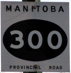
Provincial Road 300
Decommissioned Route
 |
|
Pictures are arranged from north to south. Click here to show the route.
;)
| PR 300 ended at |
||||
| Location | Description | Photo
| ||
| RM of Ritchot |
Westbound view facing PTH 59 from Hallama Drive.  Photograph taken in April 2010. |
;) |
||
| RM of Ritchot |
Southbound view on Hallama Drive approaching the turn towards PTH 59. Photograph taken in April 2010. |
;) |
||
| RM of Ritchot |
Northbound view on Bernat Road near Hallama Drive. Photograph taken in April 2010. |
;) |
||
| City of Winnipeg |
Southbound view near the Red River Floodway after the route turns south. Photograph taken in April 2009. |
;) |
||
| RM of Ritchot |
Southbound view at Keweriga Road. Photograph taken in April 2009. |
;) |
||
| RM of Ritchot |
Northbound view on Hallama Drive near the presumed southern terminus of PR 300. Photograph taken in April 2009. |
;) |
||
| RM of Ritchot |
Eastbound view on Oak Grove Road approaching the junction of PTH 59. Photograph taken in April 2010. |
;) |
||
| PR 300 ended at |
||||
© Curtis Walker. All rights reserved. All pictures used on this site are the property of the respective photographers and are used by permission. No picture may be used without the consent of the respective photographer.
All pictures taken by Curtis Walker unless otherwise noted.