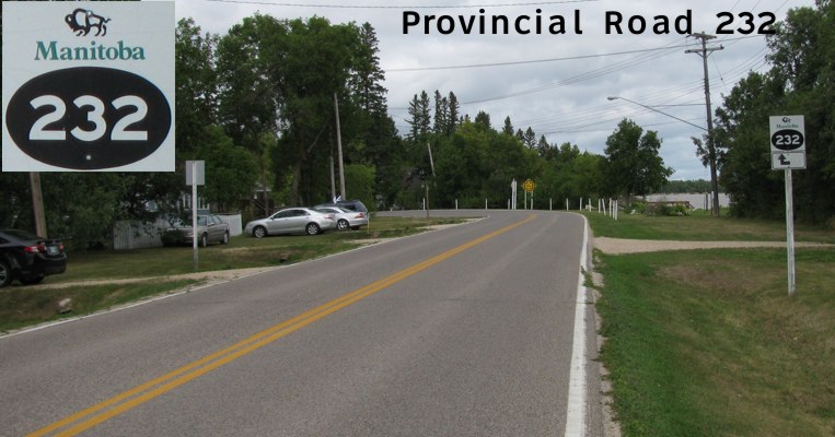
|
Pictures are arranged from south to north. Click here to show the route.
;)
| PR 232 ends at |
||||
| Location | Description | Photo
| ||
| Village of Dunnottar |
Eastbound view on Matlock Road approaching Gimli Road. Below the marker is a hand-made advisory sign for Gimli Road that, surprisingly, MIT has allowed to remain on the pole.  Photograph taken in October 2012. |
;) |
||
| Village of Dunnottar |
Westbound view on Matlock Road showing the only westbound marker on the route. The marker past PTH 9 in the opposite direction indicates “NORTH”, not “EAST”. Photograph taken in October 2012. |
;) |
||
| Village of Dunnottar |
A look at the sign at the corner of Community Road and Matlock Road indicating entry into the Village of Dunnottar. As with the sign at the northern end of the village, the village name is misspelled in the lower sign advising that the operation of off-road vehicles is prohibited. Photograph taken in October 2012. |
;) |
||
| Village of Dunnottar |
Northbound view showing the first northbound marker on Gimli Road. Photograph taken in October 2012. |
;) |
||
| Village of Dunnottar |
Southbound view approaching Matlock Road. Photograph taken in October 2012. |
;) |
||
| Village of Dunnottar |
Northbound view showing the advance signage for the junction of PR 225. Photograph taken in September 2011. |
;) |
||
| Village of Dunnottar |
Southbound view past Whytewold Road (Road 98N). Photograph taken in September 2011. |
');) |
||
| Village of Dunnottar |
Northbound view at the junction of PR 225. Photograph taken in September 2011. |
;) |
||
| PR 232 meets PR 225 at Whytewold Road. Click here for PR 225 images. | ||||
| Village of Dunnottar |
Westbound view at the junction of PR 225. Photograph taken in September 2011. |
;) |
||
| Village of Dunnottar |
Eastbound view on Whytewold Road. Photograph taken in October 2012. |
;) |
||
| Village of Dunnottar |
Northbound view past Whytewold Road. Photograph taken in October 2012. |
;) |
||
| Village of Dunnottar |
Northbound view past Lilac Avenue. Photograph taken in October 2012. |
;) |
||
| Village of Dunnottar |
Northbound view approaching Ponemah Road (Road 99N). Photograph taken in September 2011. |
');) |
||
| Village of Dunnottar |
Southbound view past Ponemah Road (Road 99N). Photograph taken in September 2011. |
');) |
||
| Village of Dunnottar |
Northbound view approaching Ponemah Road (Road 99N). Photograph taken in September 2011. |
');) |
||
| Village of Dunnottar |
Northbound view past Ponemah Road (Road 99N). Photograph taken in September 2011. |
');) |
||
| Village of Dunnottar |
Southbound view approaching Ponemah Road (Road 99N). Photograph taken in September 2011. |
');) |
||
| Village of Dunnottar |
Northbound view approaching Poplar Avenue. Photograph taken in October 2012. |
;) |
||
| Village of Dunnottar |
Southbound view showing the sign indicating entry into the Village of Dunnottar. Note that the village name is misspelled in the advisory sign for the bylaw regarding off-road vehicles. Photograph taken in September 2011. |
;) |
||
| RM of St. Andrews |
Northbound view approaching Mud Road. Photograph taken in October 2012. |
;) |
||
| RM of St. Andrews |
Southbound view approaching Mud Road showing the sign giving the distances to Ponemah and Whytewold. Photograph taken in October 2012. |
;) |
||
| Town of Winnipeg Beach |
Northbound view approaching Kernsted Road. Photograph taken in October 2012. |
;) |
||
| Town of Winnipeg Beach |
Eastbound view on Kernsted Road showing the marker at PR 232. Photograph taken in October 2012. |
;) |
||
| Town of Winnipeg Beach |
Southbound view approaching Kernstead Road (Road 101N). Photograph taken in September 2011. |
');) |
||
| Town of Winnipeg Beach |
Southbound view leaving Winnipeg Beach. Photograph taken in July 2009. |
;) |
||
| Town of Winnipeg Beach |
Northbound view entering Winnipeg Beach. Photograph taken in July 2009. |
;) |
||
| Town of Winnipeg Beach |
Southbound view showing the first southbound marker. Photograph taken in September 2011. |
;) |
||
| Town of Winnipeg Beach |
Northbound view at Ash Avenue showing the marker indicating the end of PR 232. Photograph taken in September 2011. |
;) |
||
| PR 232 ends at |
||||
© Curtis Walker. All rights reserved. All pictures used on this site are the property of the respective photographers and are used by permission. No picture may be used without the consent of the respective photographer.
All pictures taken by Curtis Walker unless otherwise noted.