Getting Around
August 30, 2014
As I begin my fifth week in my new home, as many of you might suspect, I continue to get around and discover the area.
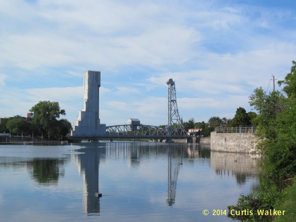
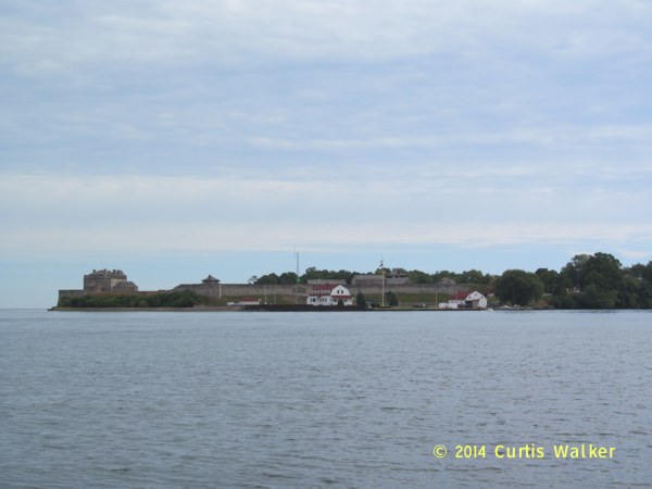
Earlier this week, I headed south for my first visit to Welland, the city whose name adorns the canal that bisects the peninsula. One of these days, I need to look into why it’s called the Welland Canal and not the Thorold Canal, Port Colborne Canal or the St. Catharines Canal.
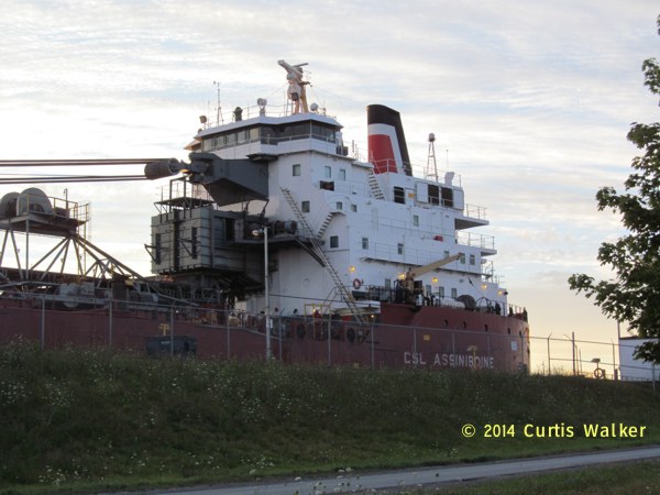
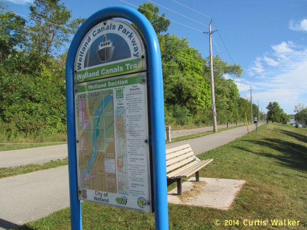
Upon reaching the Welland Canals Recreational Trail, I did a double take when I noticed the name of this ship. When I lived in Winnipeg, my home was backing the sewage lagoon otherwise known as the Assiniboine River.
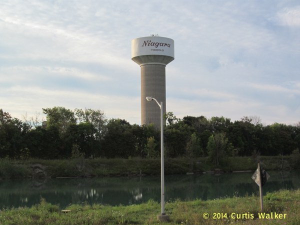
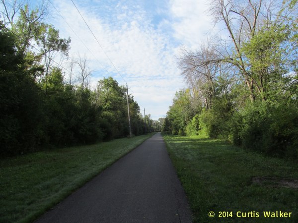
I continued down the trail, up the escarpment through Thorold.
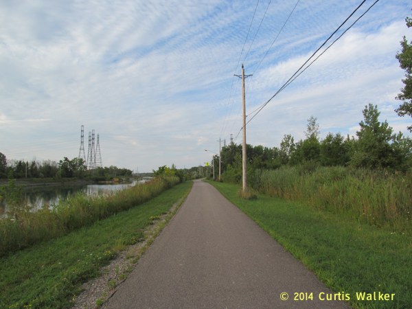
Between Thorold and Welland, the terrain mercifully Saskatchewanizes and, for the benefit of my friends reading from the SPRM, it very much reminded me of the area around Whiteshell Provincial Park, located at the western tip of the Canadian Shield.
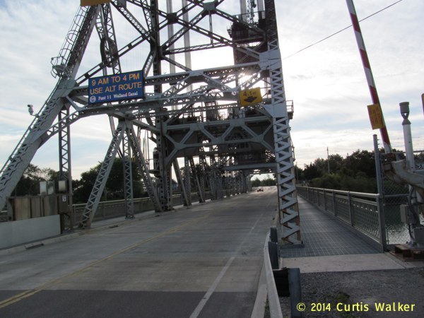
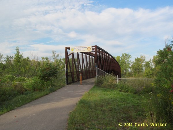
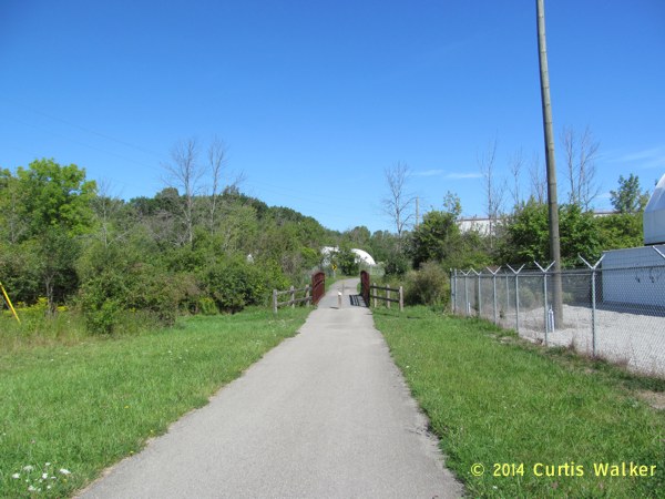
On the way, I took a side trip across Bridge 11 to Allanburg.
As those of you who know me would expect, picking up more highway pictures was the motivating factor behind this particular diversion.
I then retraced my steps, got back on the trail and was soon in Welland.
The Main Street Bridge, under construction.
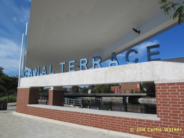
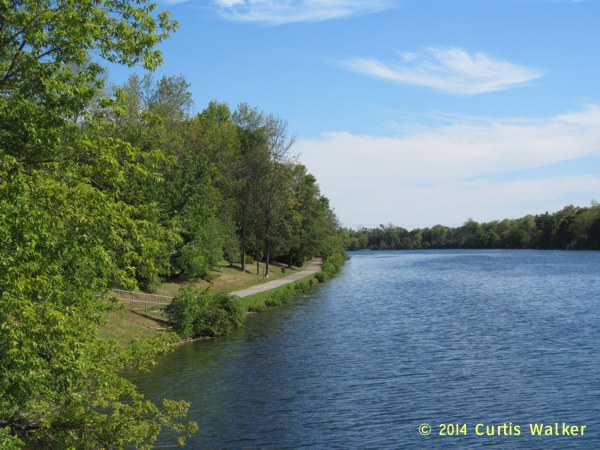
Canal Terrace, a nice little place to stop and look out at the Welland Recreational Waterway. Again, I kept expecting to find bums staggering around a morass of broken beer bottles, condom wrappers and other assorted presents left on the sidewalk. Old habits from Winnipeg die hard. Instead, the area was clean and perfectly well civilized.
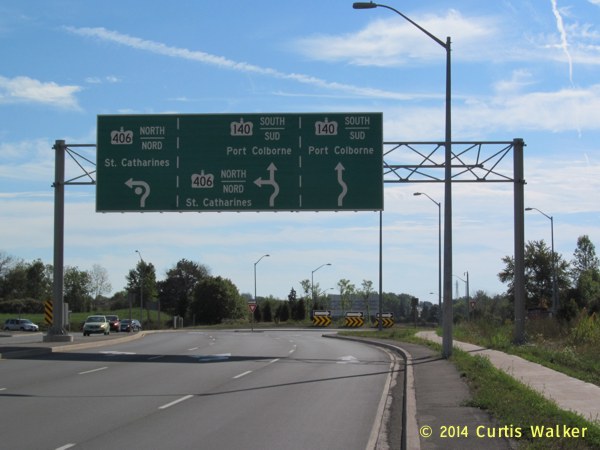
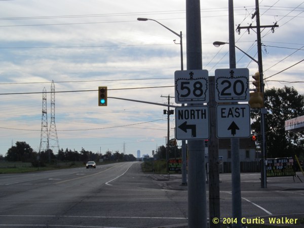
I made my way to Main Street and the roundabout where King’s Highway 406 ends. Standing on the sidewalk, I was able to understand the instructions on this mammoth sign, but I can imagine how motorists not familiar with the area might throw their hands up in despair trying to decipher its meaning. It is thorough, but I think someone at MTO outsmarted themselves on this one. They might have been better off applying the K.I.S.S. principle. Winnipeg has a famous intersection informally known as Confusion Corner and I think Welland just got one of its own.
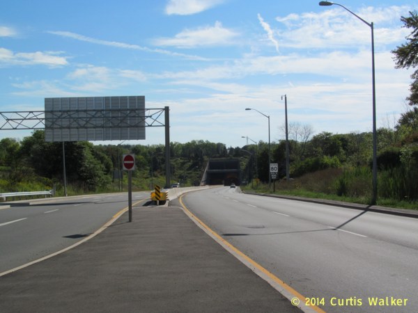
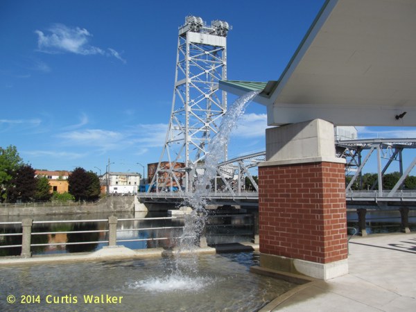
The Main Street Tunnel. I will save my first trip through it for a future visit.
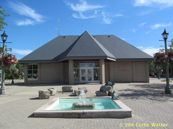
I returned through downtown and stopped for a break at the Welland Transit Terminal.
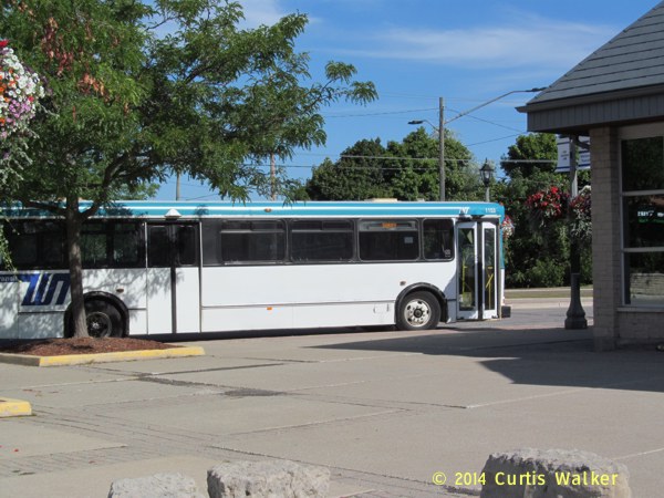
Like Winnipeg Transit, Welland Transit also operates a “Sorry” route.
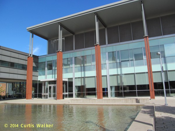
Continuing on, I passed Welland City Hall.
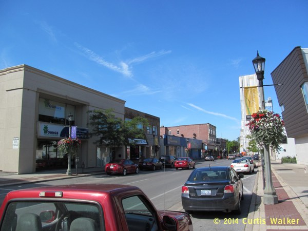
Elsewhere in downtown Welland.
As I have noticed ever since I set foot on the peninsula, the people have been very friendly and Welland proved to be no exception. However, I must have stood out as an unfamiliar sight as I got a lot of “you’re not from around here, are you” kind of looks. Which is true. Sort of.
I returned to the trail and headed north back towards St. Catharines.
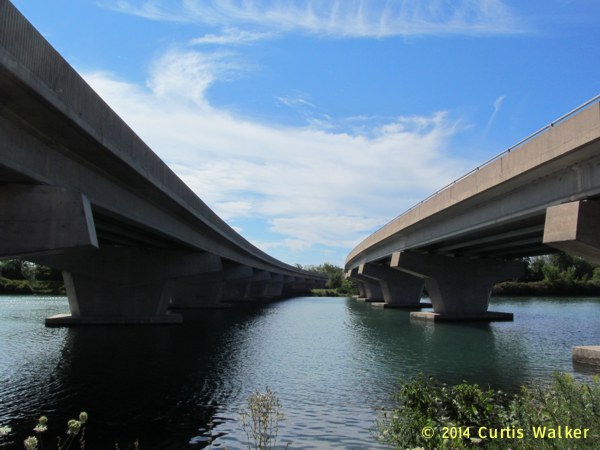
Crossing under both spans of the 406.
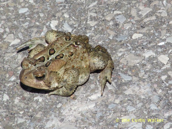
This frog was in the middle of the trail and I luckily avoided him.
All in all, I enjoyed my visit and I look forward to returning when I have a little more energy to look around more. Because of the side trips I made along the way and being an experienced cyclist well aware of my limits, I knew I was at the end of my tether. I will have to make a point of studying the Welland Visitors Guide to see what other attractions the city offers.
Later in the week, I went to the Seymour-Hannah Complex to check out the training camp of the OHL’s Niagara IceDogs, likely soon to be my new favorite team.
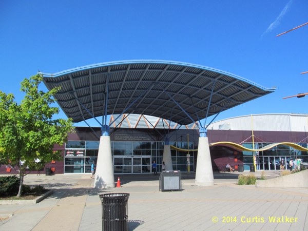
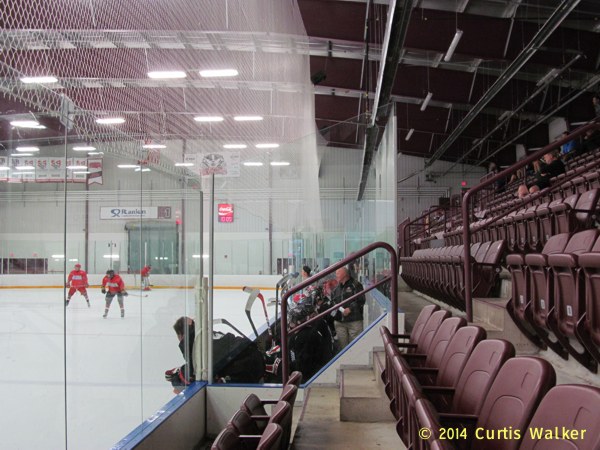
It was an impressive facility and had four rinks. For those reading from the SPRM, it was like the ChipmanPlex. Without Chipman.
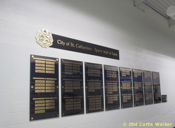
Before heading for Rink 1, where the IceDogs were working out, I stopped at the display for the City of St. Catharines Sports Wall of Fame. Of particular note for me was the name of Rudy Pilous, who was listed in the inaugural class. A Winnipeg native who had spent many years in St. Catharines, Pilous was once the coach and, later, the general manager of the Winnipeg Jets during their years in the WHA. His biography at scshof.com incorrectly states that he had coached the team in 1973-1974, but he did coach the Jets the following year and subsequently served as the team’s general manager until John Ferguson dismissed him on December 15, 1978.
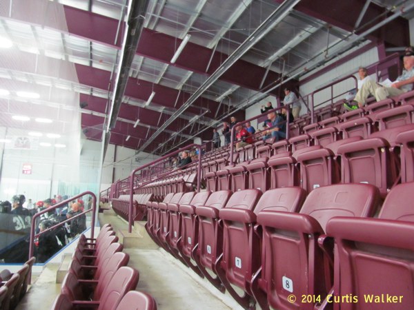
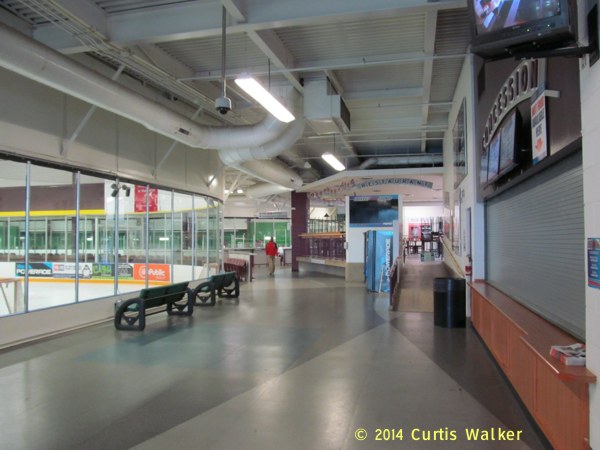
Stepping inside, my nose immediately told me that much hockey had been played in this rink as the stench of decades worth of fermented sweat shot right up my nostrils. However, the rink looked very well maintained and I was stunned to see clean, padded seats on both sides of the ice. I had expected instead to see rows of bench-style seating consisting of little more than roughly chipped plywood that had not had contact with the end of a paint brush in the last quarter century. Again, that was the cynic in me that many decades of living in Winnipeg brings to the surface.
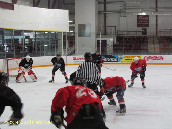
Action between the red and black teams. I was a little curious as to why they were sporting jerseys with the OHL logo rather than that of the IceDogs. Perhaps that’s one of those things I’ll learn as my fandom builds. While watching, I really didn’t know who many of the players were, but again, I’ll learn.
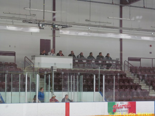
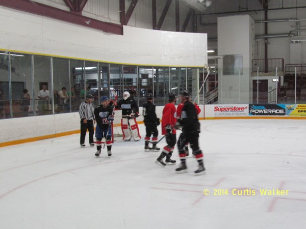
The IceDogs braintrust, I presume.
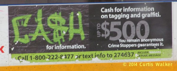
I noticed this ad on the boards and it was another pleasant reminder that I no longer live in Winnipeg. According to the Winnipeg police, if you are walking down a street and are hit and nearly killed by a car pulling out of a driveway, it is not a reportable offense. You can imagine how they would react to something as comparatively trivial as graffiti.
In my first real foray into the world of junior hockey, I was surprised to see so few young, female admirers fawning over their favorite players/would-be boyfriends. When I followed the Manitoba Fighting Moose during their years in the AHL, watching the fanatical behavior of these groupies/puck bunnies proved almost as entertaining as the games themselves. Perhaps that will come when the puck drops for real.
I didn’t stay all that long, but I am eagerly anticipating the junior hockey experience. Unlike the case in Winnipeg, where junior hockey barely registered on the radar even when they had a team, smaller communities such as St. Catharines really seem to rally around their team. This new fan experience intrigues me as much as any future action on the ice and the seeds of a future novel have already been planted. Our MP seems to have dibs on “Hockey Night in St. Catharines,” so I’ll probably call it something else.
A couple of days later, I rode out to Niagara-on-the-Lake. On the way there, I went out of my way to take Niagara Stone Road. It isn’t a route I would normally choose or recommend due to the high volume of traffic, but the opportunity to get some shots of the former King’s Highway 55 was the reason I went that way. There was at least a paved shoulder to keep me a reasonable distance away from passing cars and trucks.
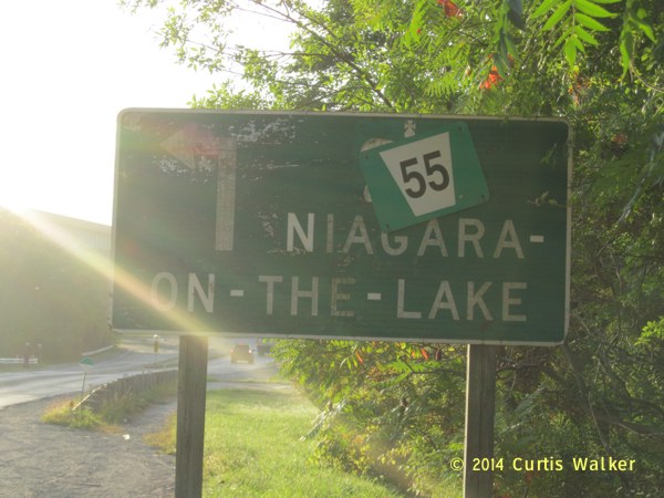
I know it’s a lousy picture, but this particular sign on Queenston Street struck me, one that obviously dates back to when Niagara Stone Road was King’s Highway 55. After the route was downloaded to the region, they must have simply stuck a regional marker over the provincial marker, leaving the rest of the sign intact. Even though it has clearly seen better days, the sign still serves its purpose and common sense dictated that it did not need to be replaced entirely.
In the SPRM, they adopt a much different approach. Evidently flush with cash, the province has been on a search-and-destroy mission over the past few years to replace signs such as this at a dizzying pace and for no apparent reason. In a case like this, crews would be out either repainting or replacing the entire sign, most likely on a Sunday or holiday to rack up overtime. Click here for a glaring example of how this practice works in the SPRM.
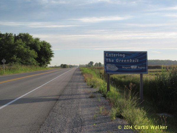
Entering the Greenbelt. Oddly, the sign is in blue. Perhaps it should be the Bluebelt.
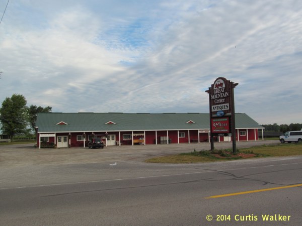
The Great Mountain Center, one of the places along the route that offers grape and wine tours. This one also offers locally-grown ginseng and tea.
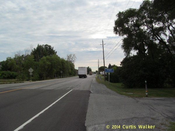
I soon reached the community of Virgil.
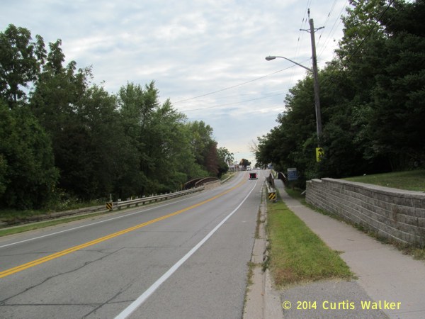
Crossing Four Mile Creek.
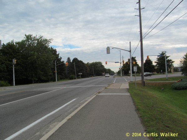
At East and West Line, cyclists like me can take advantage of a shared pathway and get off the road.
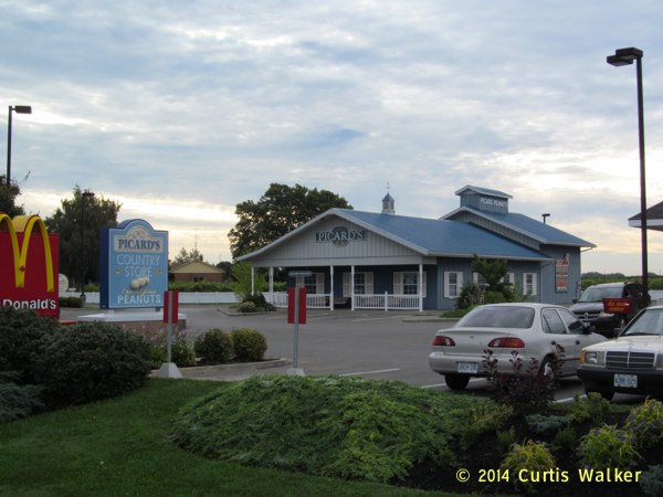
Picard’s Country Store, where you can buy Ontario-grown peanuts.
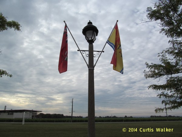
I had to pull off the road and get this shot. On this specific day, on the occasion of the four-week anniversary of my defection from the SPRM and arrival in St. Catharines, I spotted an SPRM flag and a New Brunswick flag on the same pole. Immediately to my right as I took this shot was a Beemer.
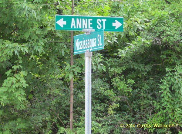
Not far from this spot was Anne Street.
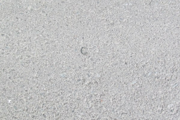
Later in the outing, I would spot this “C” on the ground near the spot where I took a particularly nice picture.
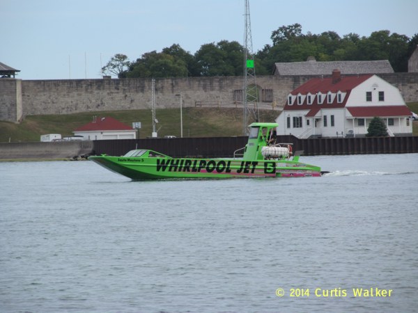
During a break, I would also spot this Whirlpool Jet. Number 5.
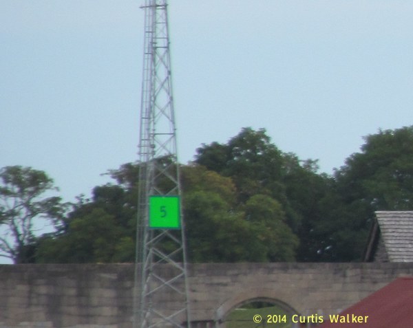
Across the river was the number 5 on this communication tower.
As always, I knew I was not alone. Some of you will understand. Most of you will not.
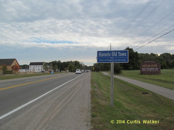
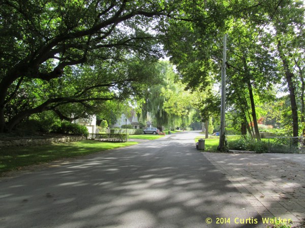
I continued on into the Historic Old Town, a place I am quickly becoming very fond of.
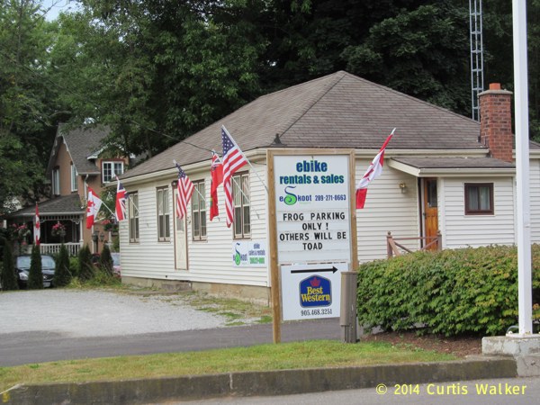
A clever sign.
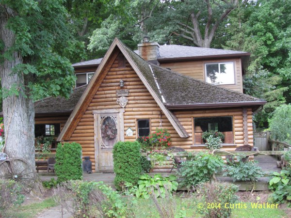
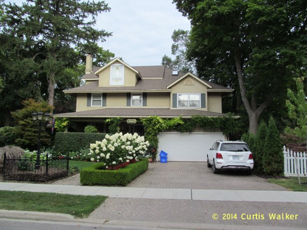
One of the many fashionable dwellings along the lake.
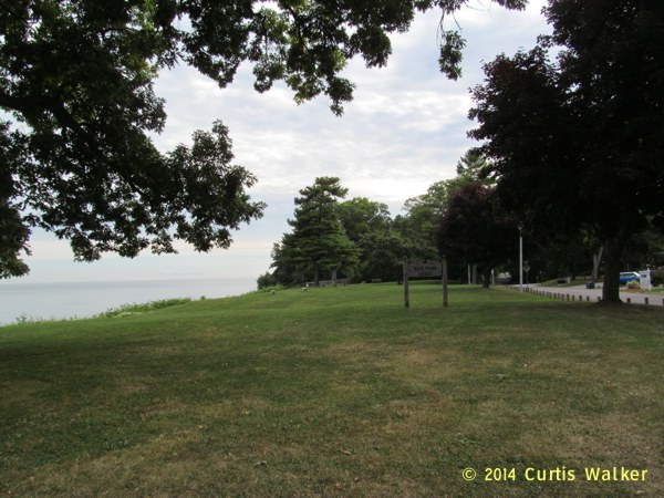

Scenes in Ryerson Park.
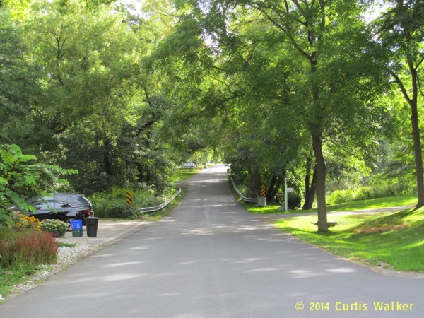
Niagara Boulevard.
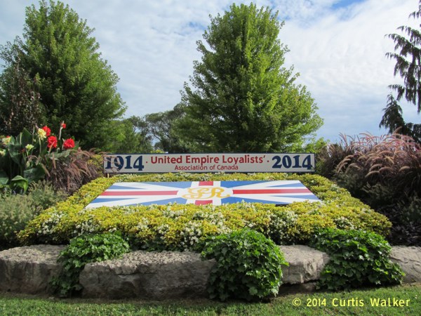
I got another shot of the floral display honoring the United Empire Loyalists. When I got there, there were two women taking turns snapping pictures of each other, so I offered to take a shot of the two of them together. Sadly, the only words of English they spoke were, “I’m sorry, we don’t speak English.” Nonetheless, through the use of some clever charades, I got my point across and they gratefully accepted my offer. I hope the shots I took worked.
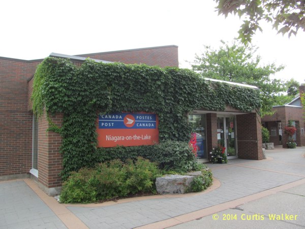
The post office. As I understand, this is the correct spelling of the town’s name, yet I would later find this sign that has a capital “O” and capital “T” in the “on” and “the,” respectively:
I know I’m being a little petty here, but the town ought to spell its own name correctly.
One of the many bed and breakfasts in town. It seems like there’s one on every street corner.
Overlooking New York State as I stop for a break. I know you’ve heard this before, but I could get used to this.
Visitors from Wisconsin. Or as they say, “Wiscahnsin,” in their catchy accent. If you haven’t recognized the symbol, the picture I use on both my Facebook and Twitter profiles is a Wisconsin state trunk highway sign.
These are just the latest in a series of adventures over the course of the more than 300 miles I’ve racked up on two wheels during my first month here. No doubt, there’s more on the way. Stay tuned.
| Previous post | Next post |