Cycling to the Falls
August 22, 2014
As many of you who know me might expect, soon after my bike arrived from Winnipeg, I wasted no time in making a pair of visits to nearby Niagara Falls.
Though I’ve studied plenty of maps, since I am still largely unfamiliar with the best routes to use, I decided to rely on Google to plan my first visit to the Falls since I was a young child on vacation from Winnipeg.
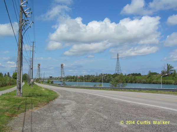
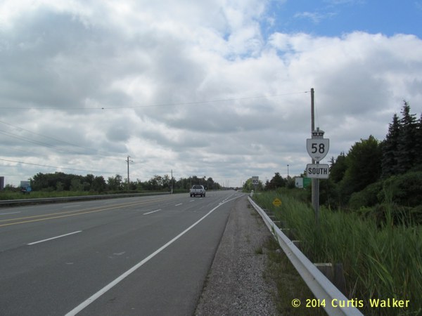
Google recommended first heading south from St. Catharines along the Welland Canals Parkway into Thorold.
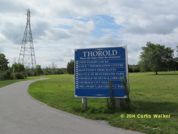
As the sign says, Thorold is where the ships climb the mountain. It is also where cyclists climb the mountain, otherwise known as the Niagara Escarpment. Coming from the flatlands, the frequent changes in elevation are something I’m going to have to get used to.
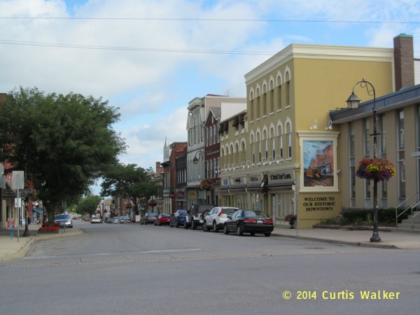
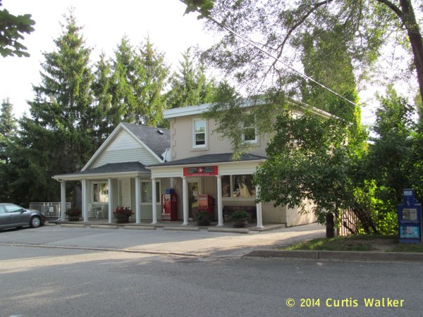
I took the exit at Regent Street and proceeded south along Front Street through Thorold’s “historic downtown.” That phrase carries a very negative connotation in Winnipeg, but Thorold’s downtown has a lot more appeal than Winnipeg’s downtown does. Once again, I found no bums and the streets were clean. Thorold’s downtown reminded me of Kenora, a city in the northwestern part of the province I’ve visited a number of times when I lived in Winnipeg.
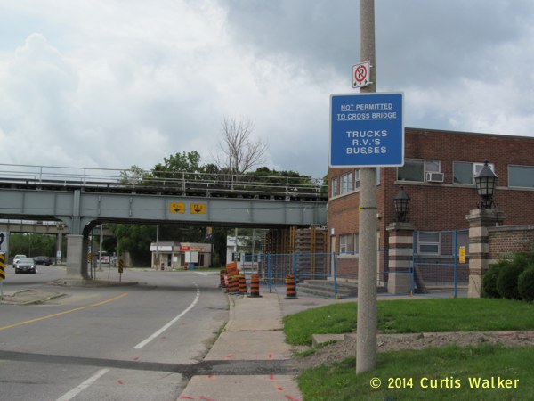
Google’s recommendation took me through the Front Street Park and towards the Thorold Tunnel that goes underneath the Welland Canal.
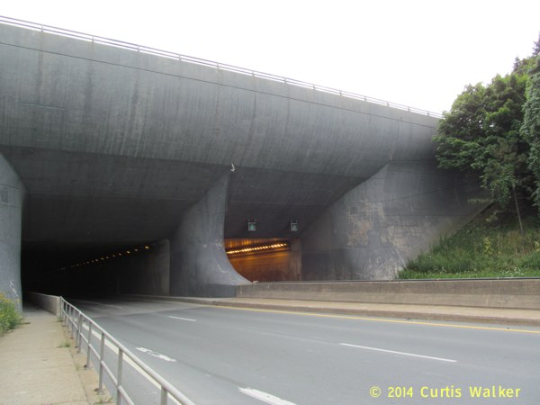
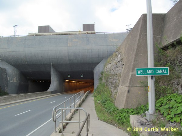
I promptly got off my bike and walked it through the tunnel along the pedestrian walkway, separated from motorized traffic by a concrete barrier.
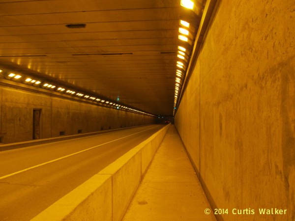
MTO says the tunnel is 840 m long, but it felt like five miles when I was in there. I am normally not claustrophobic, but it was a harrowing experience having speeding trucks whizzing past me at close quarters inside such an enclosed space. After reaching daylight, I was visibly shaken for much of the remainder of the ride into the Falls. On my return trip, I would ride through and shorten the amount of time I had to spend in the tunnel. I suspect the Thorold Tunnel won’t be seeing much of my shadow in future.
Once out of the tunnel, I turned south on Davis Road, then east on Beaverdams Road, following it to Lundy’s Lane.
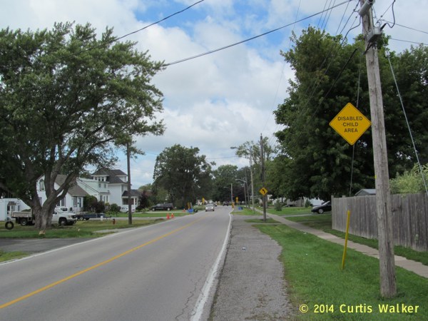
Beaverdams Road passes through a golf course and a few homes, but mostly through farmland. It seems to be lightly travelled, but it had no paved shoulder. This is why I normally don’t rely on Google or other cycling maps. There’s really no substitute for experience.
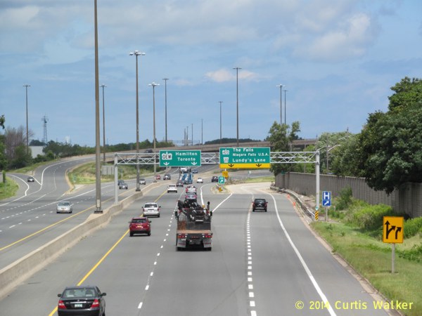
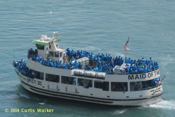
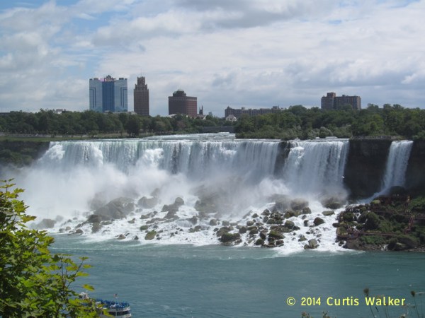
After reaching Lundy’s Lane, I crossed the QEW and made my way towards the falls. Not unexpectedly, there were tourists galore and when I next want to spend some time looking over the falls, I’ll park my bike somewhere and walk. Walking a bike through such a large crowd was rather awkward.
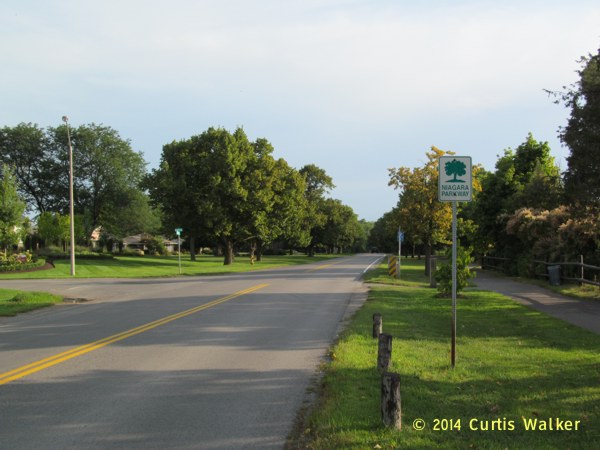
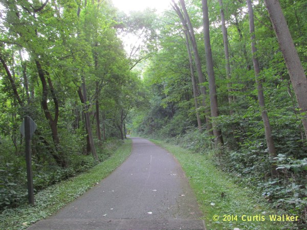
A few days later, I opted to rely on my limited personal experience for my next trip. I crossed the lift bridge at Lakeshore Road and made my way directly to the Niagara Parkway Recreational Trail using East and West Line. Lakeshore does see more traffic, but East and West Line doesn’t seem to be that busy. More importantly, there is a paved shoulder to give cyclists like me a little more comfort.
Upon reaching the trail, I headed south towards Queenston and Queenston Heights, site of a famous battle during the War of 1812.
As I noted in a previous blog entry, they don’t call it Queenston Heights for nothing. I made it up this incline without too much difficulty, but I had to get off the bike and walk it up much of the way through the town.
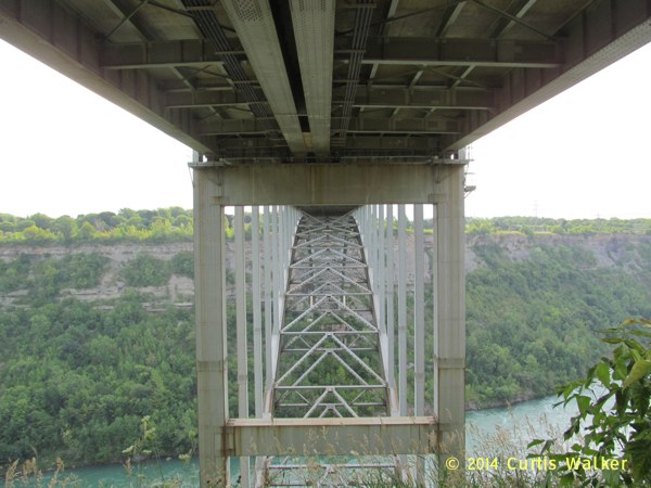
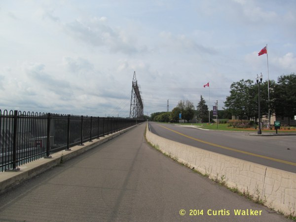
Continuing south, I went under the Queenston-Lewiston Bridge towards the floral clock.
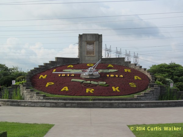
After a brief break to snap a few more pictures, I passed by the Sir Adam Beck Hydroelectric Generating Station.
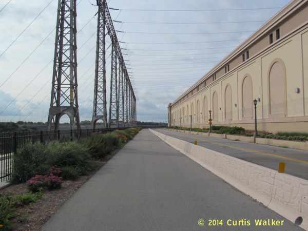
There are a number of spots where you can pull off the trail and get some shots, which I did.
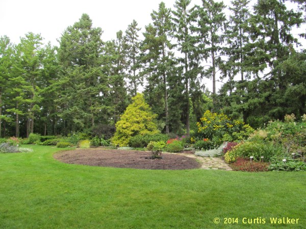
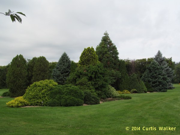
I noticed a sign for the Niagara Botanical Gardens and the Butterfly Conservatory, so I stopped in to check it out. Sadly, I was too early and the conservatory was not open yet, but I will make a point of getting there in a return visit. Given that this was the height of tourist season, however, I was surprised they were not open at the crack of dawn.
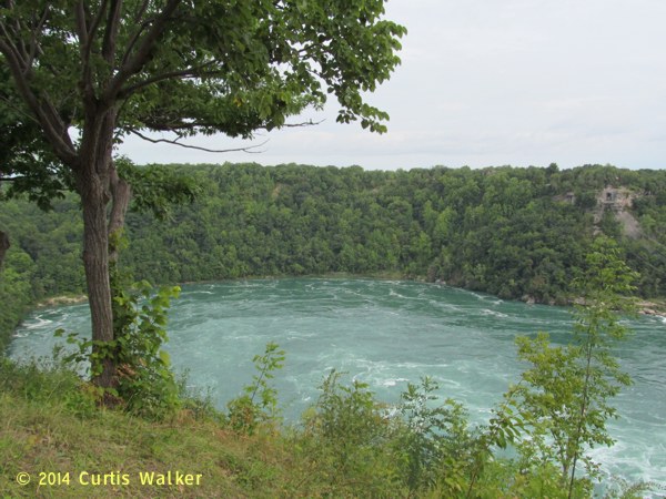
I continued south on the trail towards the Whirlpool Gorge.
I stopped for some pictures alongside a busload of people from Maryland. On this trip, in addition to many from neighboring New York, I would also spot plates from New Jersey, Massachusetts, South Carolina, Connecticut, Tennessee and Illinois.
After passing Victoria Avenue, cyclists have to go on the road, but there is a paved shoulder that takes you past the Whirlpool and Rainbow Bridges right to the falls.
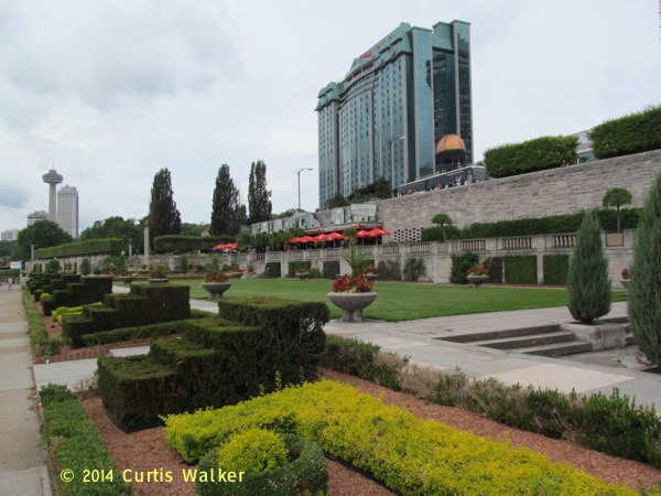
I stopped at the Not-So-Secret Garden before turning around and heading for home. This time, I planned a different route myself, wisely not relying upon Google.
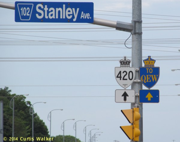
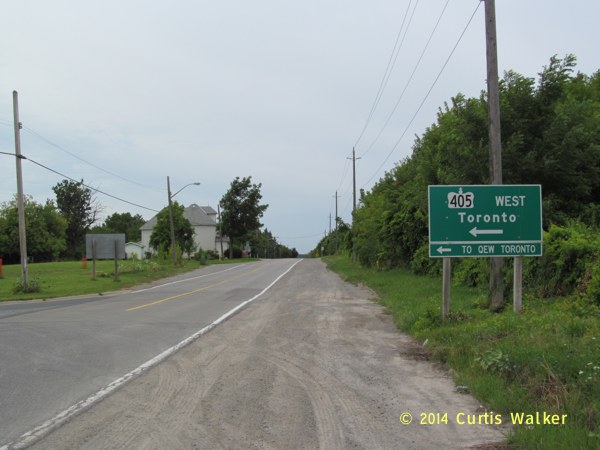
From the 420 junction, I took Stanley Avenue north across 405 to Niagara Townline Road. Stanley Avenue is a little busier, but again, there was a paved shoulder for most of the way.
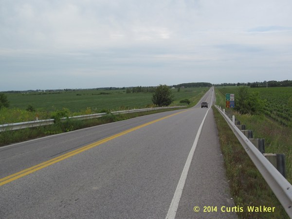
I took Four Mile Creek Road and made my way to the lightly used Queenston Road. Unfortunately, it did not have a paved shoulder, but there was far less traffic there than I found on Beaverdams Road.
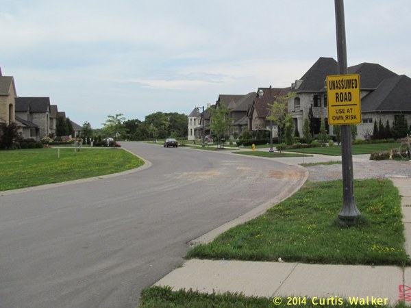
I stopped for this picture just north of the intersection of York Road. I’ve since found out what an “Unassumed Road” is, but the terminology seemed odd. At first glance, it sounds like they don’t want you to assume this is a road.
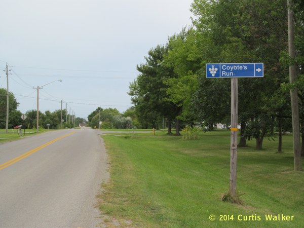
Hello, my name is Coyote. Wile E. Coyote. Genius.
I followed Queenston Road back to St. Catharines and made it home safely. Overall, this route seemed to be a lot better than the one Google recommended, though much of the scenery to the north can be distracting.
I’m sure there are other routes in the area to get to the Falls and back, perhaps better ones, and I look forward to discovering them over the coming months and years.
| Previous post | Next post |