An Improbable Visit to da ‘Burgh
May 11, 2017
On Monday, I had the pleasure of accompanying a good friend who was visiting from Winnipeg on a day trip to Pittsburgh. I had certainly heard enough about the city and its fanatical passion for its football team from a long-lost friend and former colleague whose ex-wife hailed from the area, but I never thought I would ever visit Pittsburgh in person.
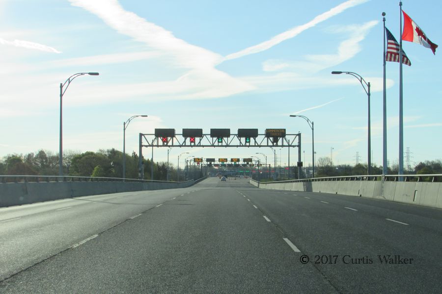
Bright and early, we crossed the Queenston-Lewiston Bridge, known as the Lewiston-Queenston Bridge to the Americans, and entered the Great State of New York.
Most people would have taken the QEW to the Peace Bridge, in part to avoid the $1 toll at Grand Island, but I did not object when my friend suggested the Lewiston crossing. Not only did I want to show him the bridge I had crossed several times on two wheels, but more importantly, I wanted to get some additional shots of I-190 that I wouldn’t have otherwise have been able to get. Shots that will be appearing on a website near you. Sooner or later. More likely the latter, given the backlog of pictures I’ve been accumulating recently.
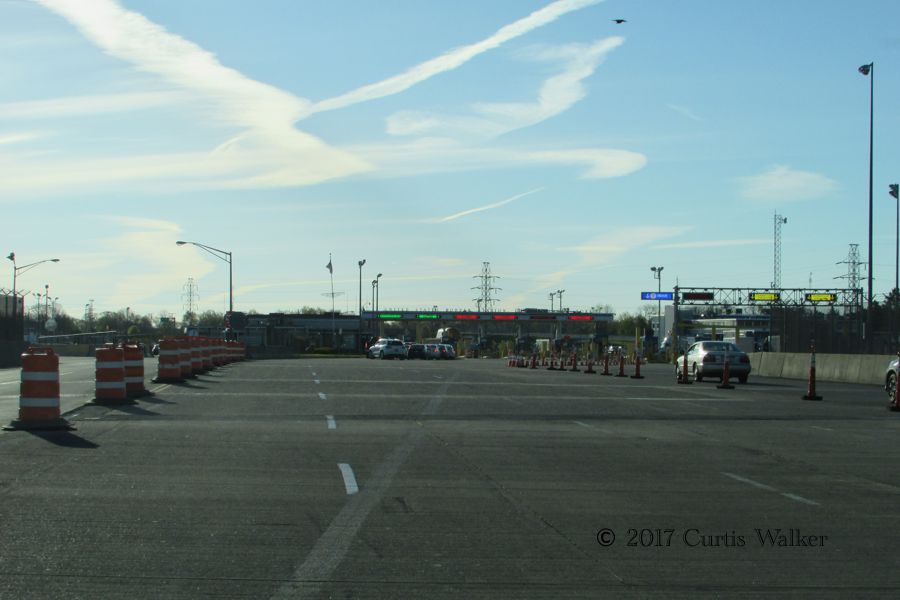
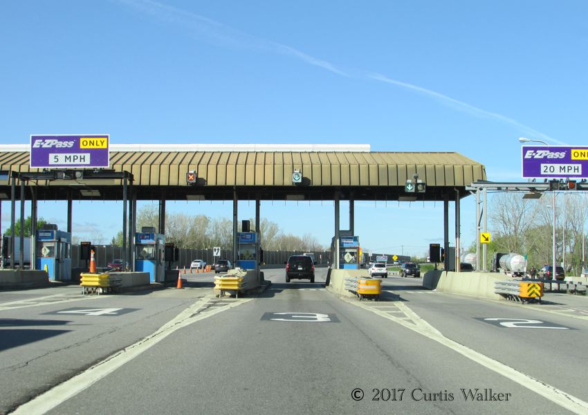
The $1 toll was a small price to pay for shots like this. Here, we are approaching the toll booth just on the other side of the north bridge, one that I’ve walked over several times.
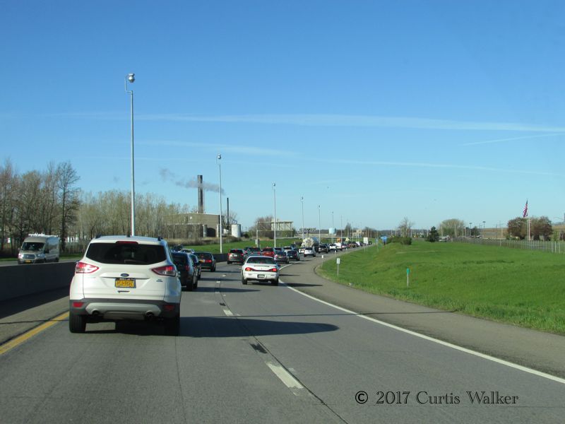
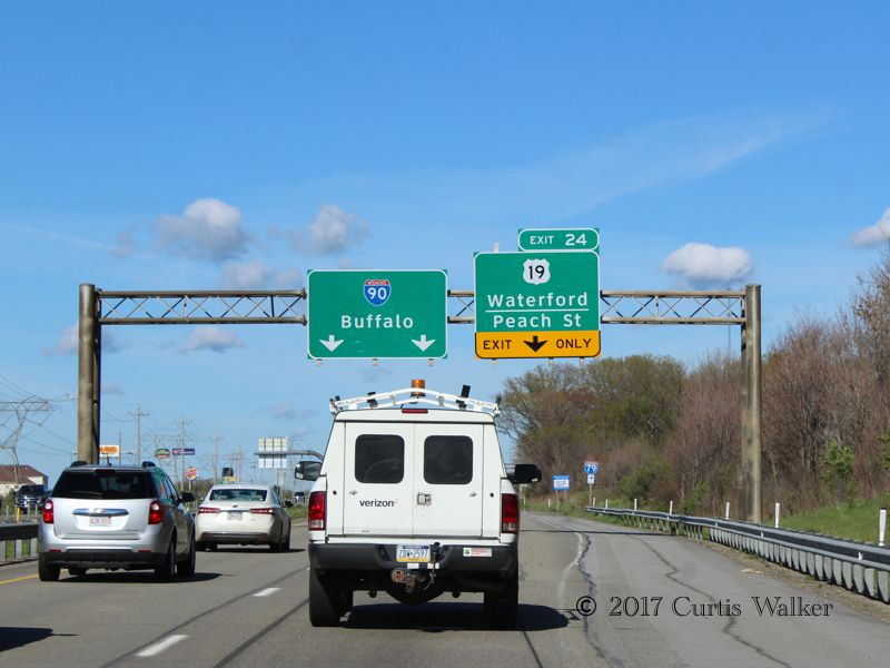
Past Grand Island into the Town of Tonawanda, not to be confused with the City of Tonawanda or the City of North Tonawanda, the latter being in a different county, there was a fair bit of traffic heading into Buffalo. This is undoubtedly another reason why people heading over the river use the Peace Bridge instead.
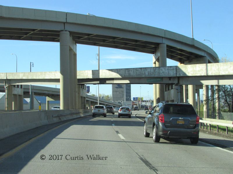
Passing under the Scajaquada Expressway. As I explained in the car, I finally learned how to pronounce it listening to a couple of guys talking while at the Tim Hortons in Sanborn a couple of years ago.
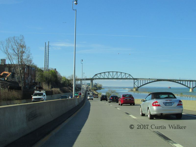
Approaching the Peace Bridge. You can watch the traffic on this stretch of I-190 from the Niagara Parkway in Fort Erie.
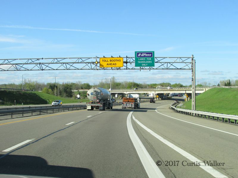
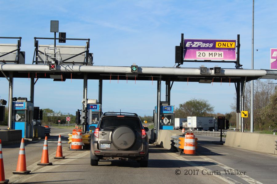
Past Buffalo and onto the Thruway, we stopped at the Lackawanna toll barrier. Entering the tolled section of the Thruway, travelers paying by cash pick up a ticket. When exiting, you hand that ticket to the attendant, who calculates the toll based on how far you’ve gone. Those with E-ZPass simply drive through, where sensors read the transponder upon entry and exit and deduct the appropriate charge from the user’s account. It’s kind of like a Presto card for drivers. You know, the Presto card that you can use throughout the GTHA, Ottawa and even Gatineau, but not here in Niagara. But I digress.
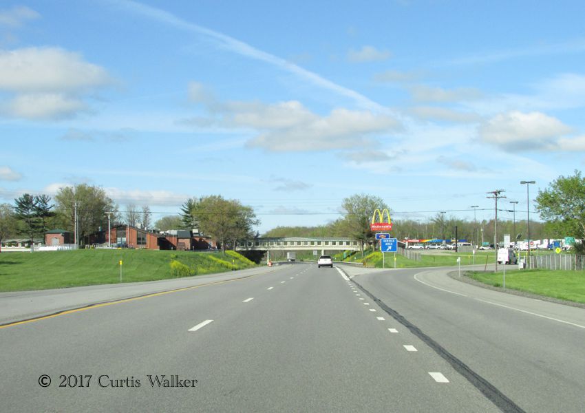
For the benefit of drivers who need a break along the way, rather than force them to exit and stop for an interim payment, the great state of New York provides many service areas along the Thruway like this one near Angola. Here, there is a food court, a staffed tourist information booth and a service station. Toto, we’re not in Manitoba anymore.
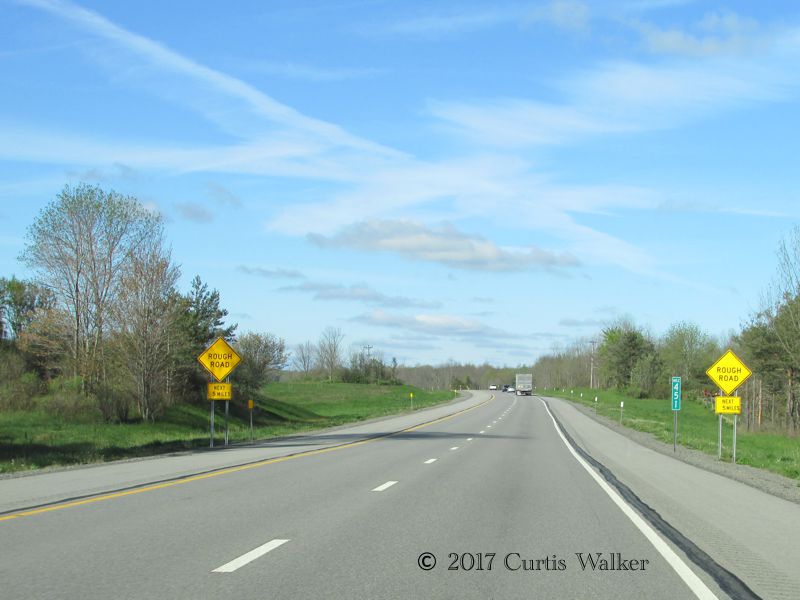
Past the Angola service area, there are these signs warning of a rough road ahead as the Thruway passes through the Seneca “Nation.”
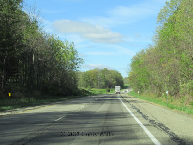
The road is indeed quite rough, but as I understand, long-standing disputes between the state and this “nation,” which must give authorization for the state to work on tribal lands, is holding up what is a badly needed rebuild of this stretch of America’s longest Interstate highway. From its eastern terminus in Boston, it runs over 3,000 miles before ending in Seattle.
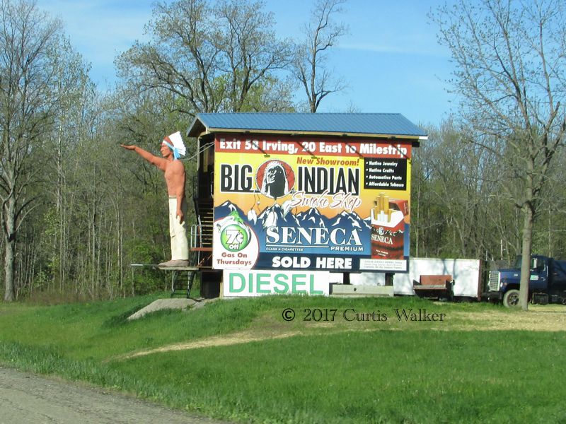
Just as I did when I passed by on the way to Erie in October 2015, I noticed this sign for the Big Indian Smoke Shop along with an Indian doing something much too similar to a Nazi salute. Upon closer inspection, the Indian is holding his palm up as if he’s looking for money, a familiar sighting for anyone who has walked the streets of downtown Winnipeg. A sighting I don't miss, by the way.
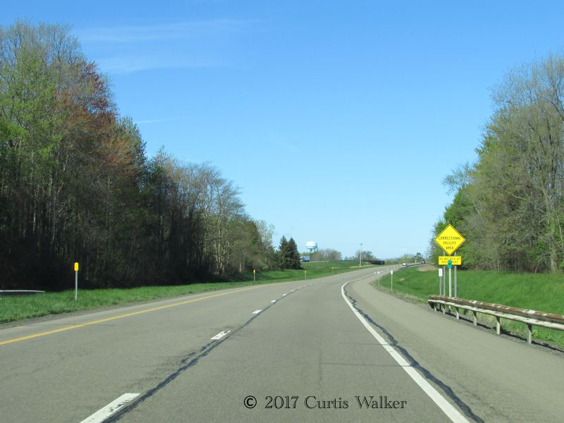
Here is a sign notifying motorists that they’re in a correctional facility area and warning them not to pick up hitchhikers. Not that it’s a terribly good idea to pick up strangers under the best of circumstances, but in this case, it’s even more dangerous, as in the distance is the water tower for the jail, complete with thick barbed-wire fencing right along the Thruway.
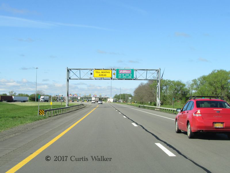
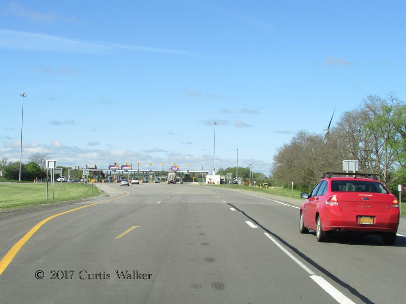
Here, we approach the Ripley toll barrier to pay our stipend before being allowed to leave the Great State of New York. Unlike the case on the 407, however, the tolls are quite reasonable and the trip between Lackawanna and Ripley only sets you back $3.15. Though I had enough American money, they do apparently take Canadian dollarettes, discounted at a rate of 30%. Subject to change, I imagine.
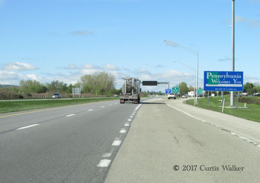
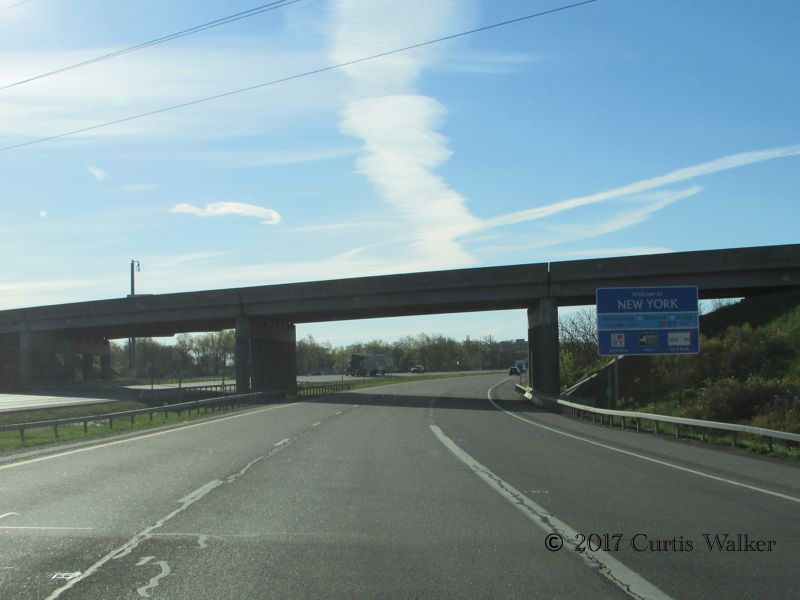
Just past the Ripley toll barrier is the state line. Here, we are welcomed to the Commonwealth of Pennsylvania.
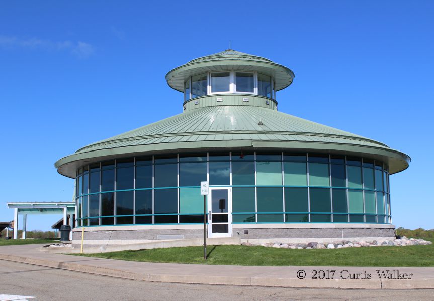
Inside the welcome center were washrooms, free Wi-Fi and a staffed tourist office. Normally in these places, the staff pounce on you as soon as you walk in the door, but the person in the office was content to sit and continue working while I browsed through the place.
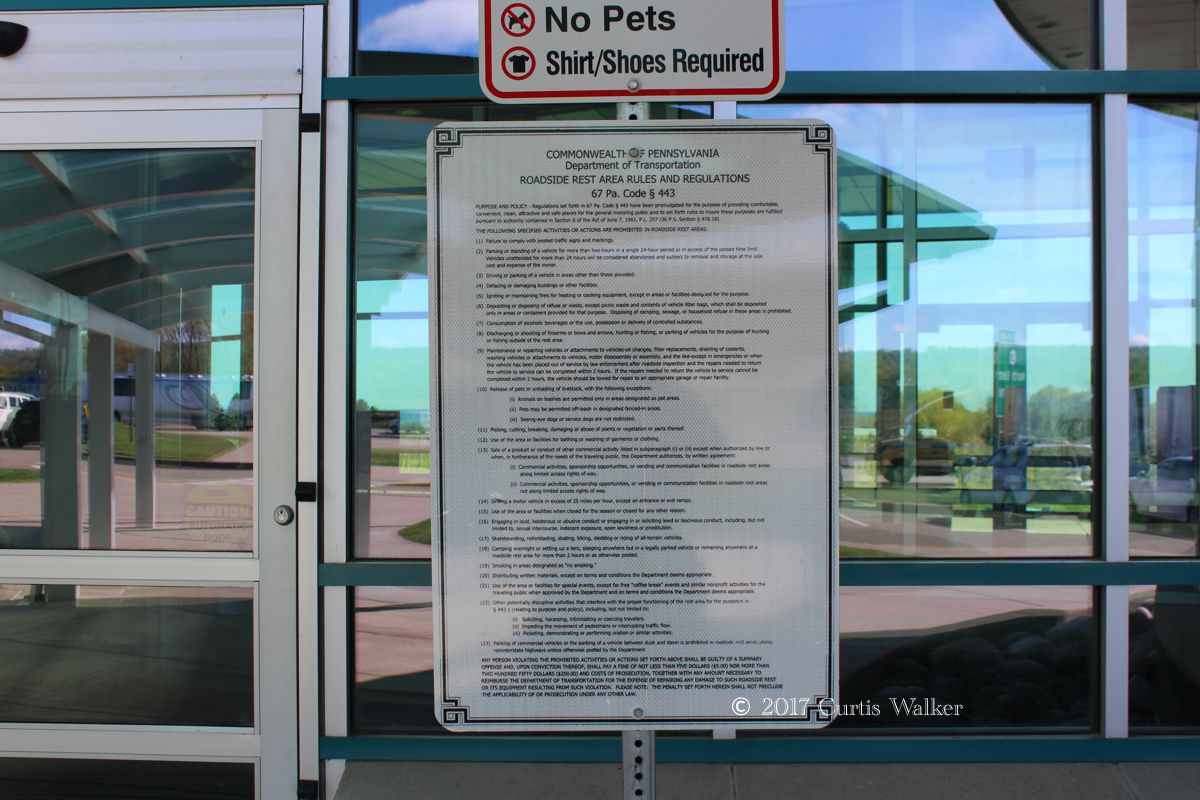
At the main door is this sign giving “The Rules” as set forth by the Commonwealth. Some long reading material for those who care enough and have the time to go through it all.
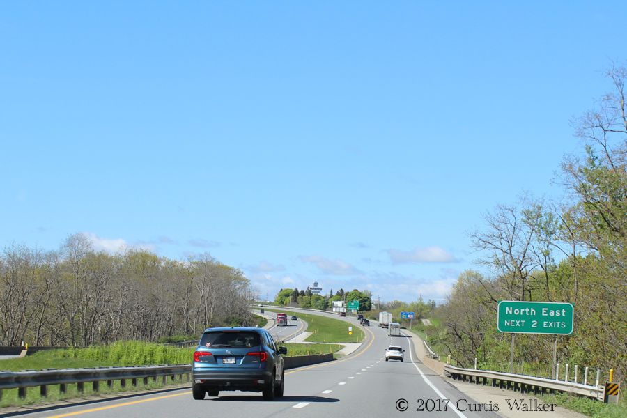
Past the welcome center, there is this sign for North East. North East what, you may ask? It’s just North East. Well, North East Township to be exact.
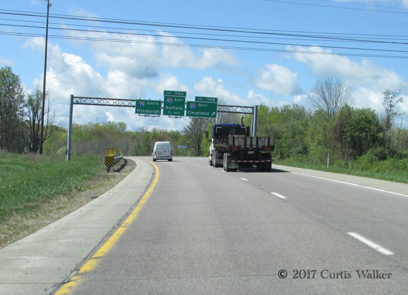
Following a short break in nearby Erie, it was time to head south along I-79 toward Pittsburgh.
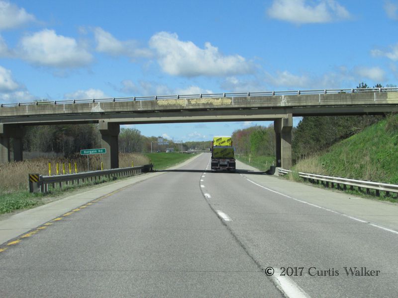
Just past the I-90 interchange is Bargain Road, a fitting sighting for a current and ex-Winnipegger traveling together. For the benefit of the uninformed, Winnipeg is the discount capital of North America.
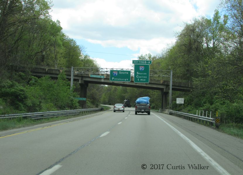
Here, we pass I-80, another of the country’s longest interstates. This one links New Jersey to San Francisco, roughly following the path of the old Lincoln Highway. As you can see from the foliage, this stretch of highway through the rolling hills of the western part of the Commonwealth is a beautiful and highly recommended drive.
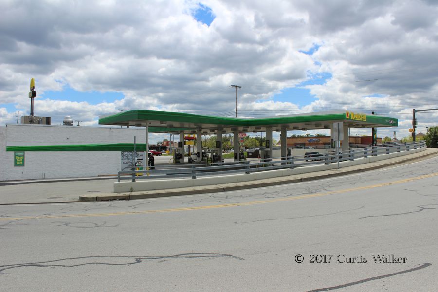
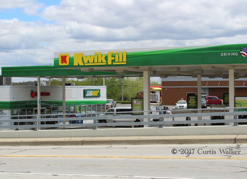
We stopped again at Grove City, where I had lunch at this gas station/Subway.
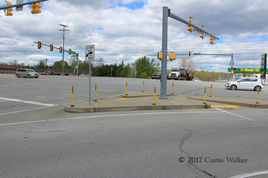
Walking back to the outlet mall, just as I did when I last visited Erie, I noticed how pedestrian-unfriendly this part of the world was. There were hardly any sidewalks around and much of the ground wasn’t even flat, yet in the above shot, they made a big effort to put wheelchair ramps at the light. It had the look of something done just so some bureaucrats could say they had fulfilled ADA requirements.
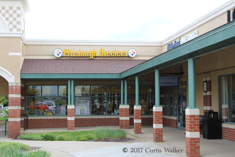
I went inside the Stillers outlet store and picked up a little souvenir of the occasion before we continued on our journey south.
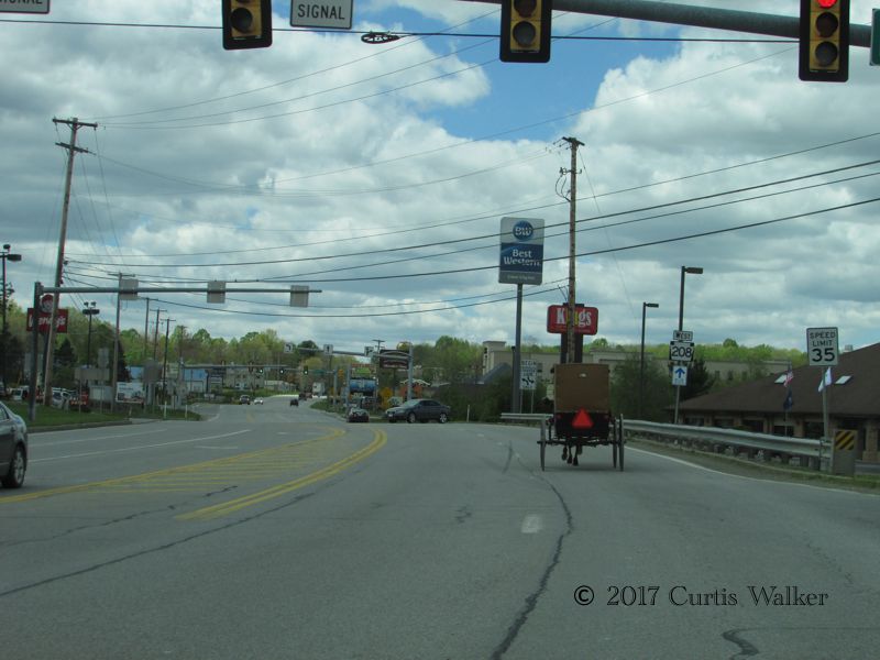
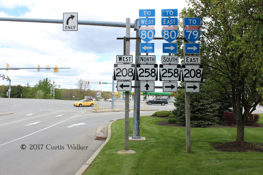
Here, a horse and buggy proceeds west along Route 208 as we waited to get back on I-79.
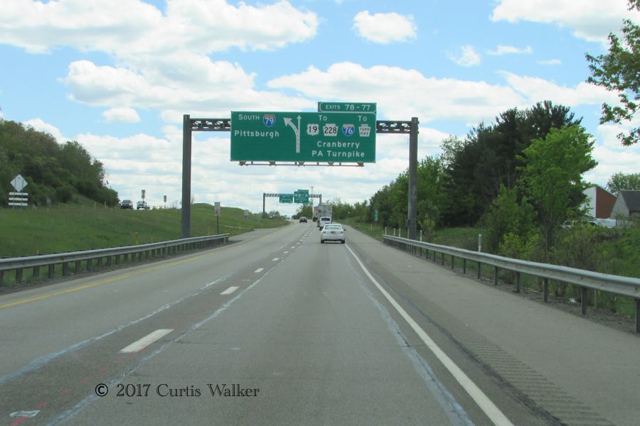
Approaching the PA Turnpike.
Seeing this sign, I couldn’t help but recall one of the favorite expressions of former Seattle Seahawks coach Chuck Knox. When he felt something was common sense, he would say it was “eighth-grade Sewickley.” Little did I ever think I would ever end up in the same area code as his hometown.
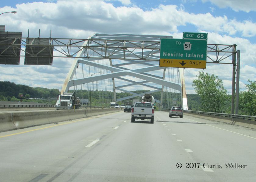
Here, we cross the Ohio River, or the Ahia in Pittsburghese. I found it odd that the signage was not bilingual.
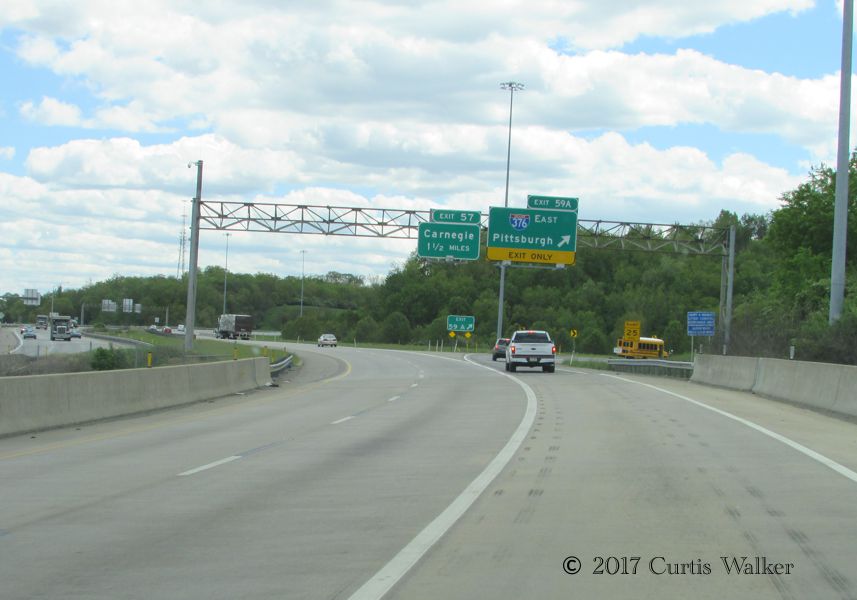
We exited I-79 at I-376 and proceeded east to Pittsburgh. For the benefit of the uninformed, in this part of the world, the next exit is for Car-NEGGY, not CAR-nuh-gee.
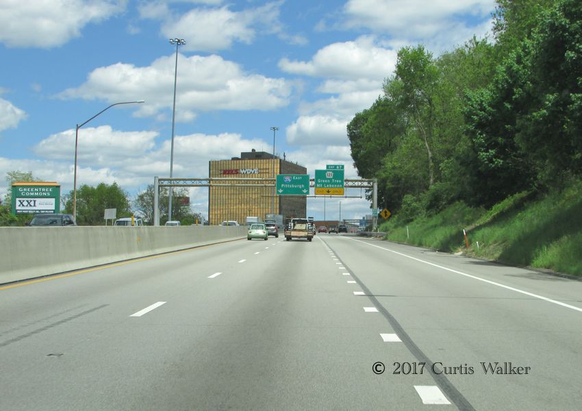
Approaching the Mount Lebanon exit and heading into Pittsburgh.
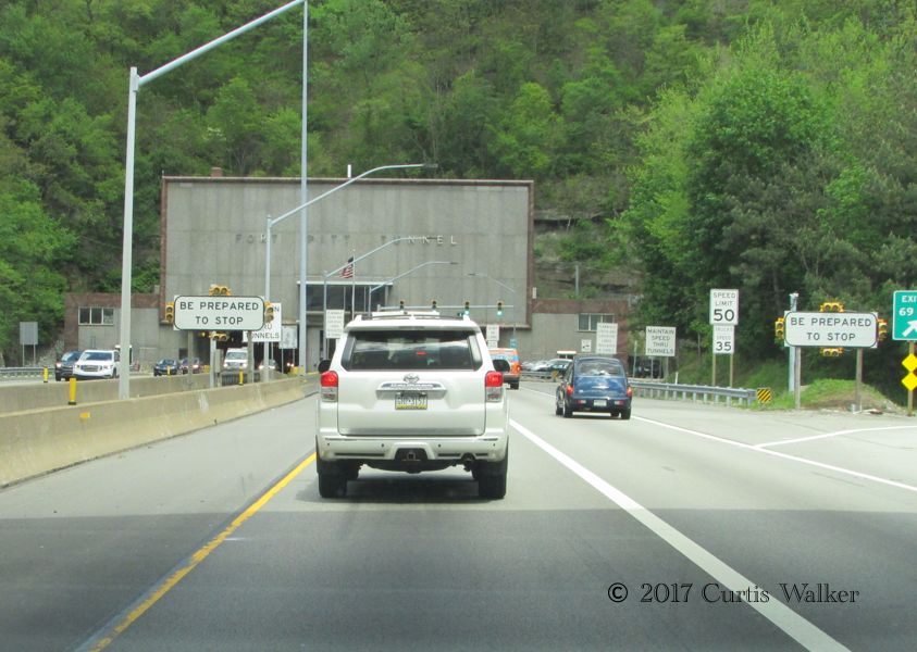
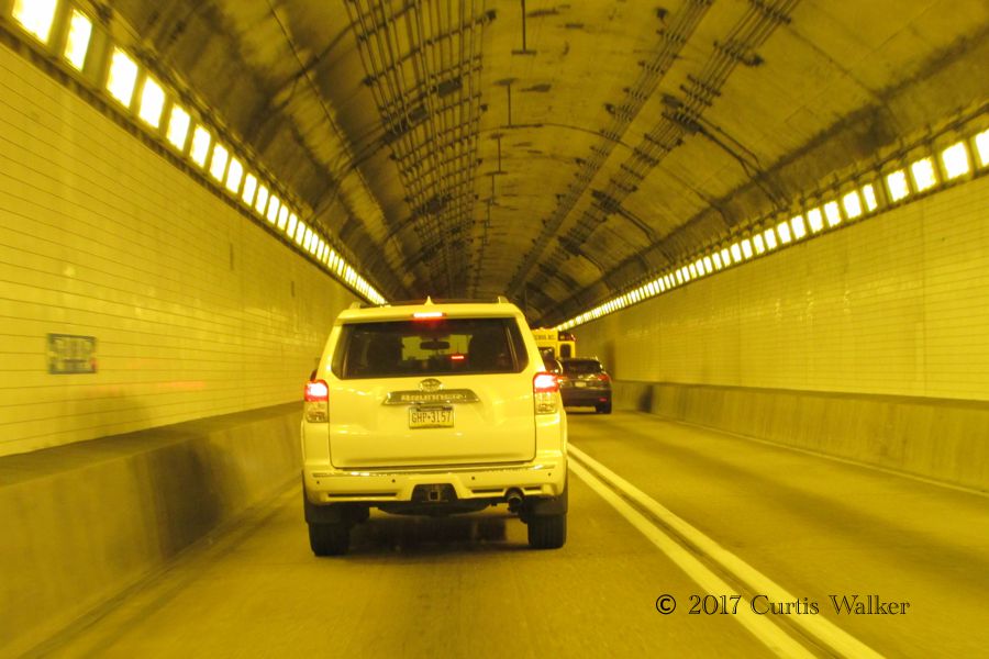
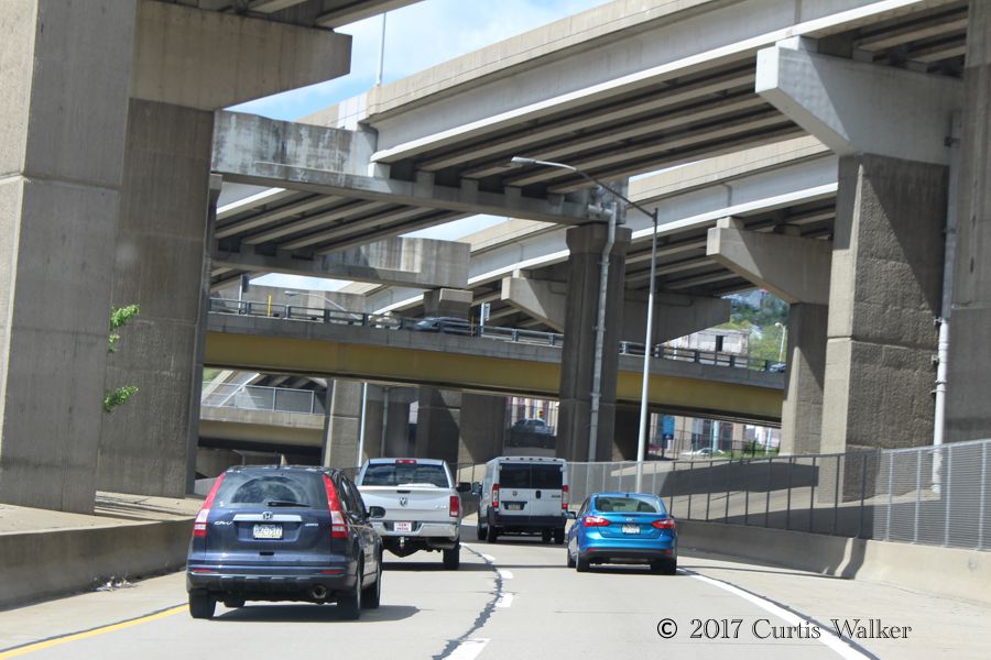
Here, we enter the Fort Pitt Tunnel that goes through Mount Washington. I used to think that going underneath the Welland Canal was a big deal.
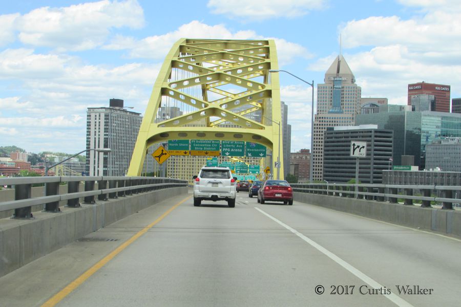
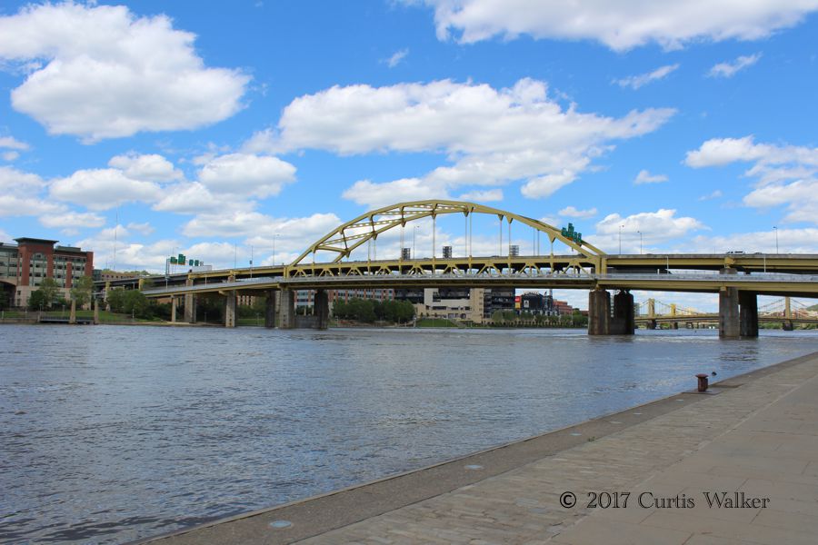
Oddly enough, on the other side of the Fort Pitt Tunnel is the Fort Pitt Bridge that crosses the Monongahela River. We took one of the downtown exits and found a place to park before getting out for a bit of exploration.
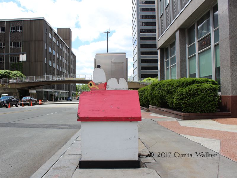
Naturally, this caught my attention. There are many such homages to Snoopy in downtown Saint Paul, MN, and they’re in much better shape than this one. Still, it’s better than nothing.
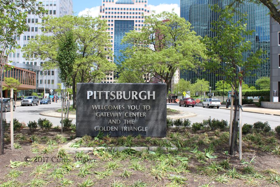
Welcome to da ‘Burgh.
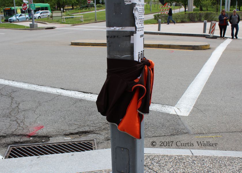
Oy! Brahns paraphernalia in downtown Pittsburgh?!?
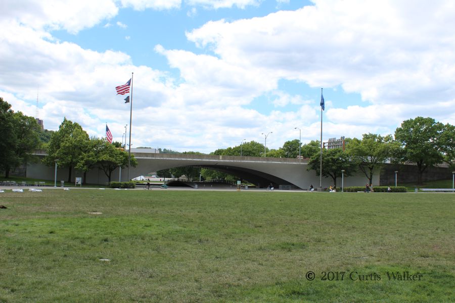
The entrance to Point State Park at the confluence of the Allegheny and aforementioned Monongahela and Ahia Rivers.
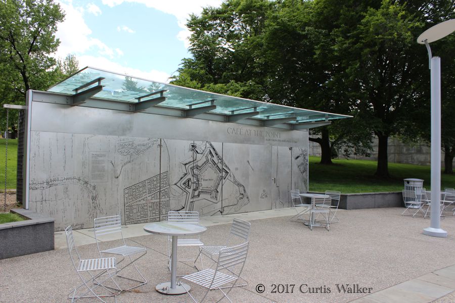
Cafe at the Point. Note how the chairs and tables are tied down. No doubt they would have a habit of walking away on their own without the restraints.
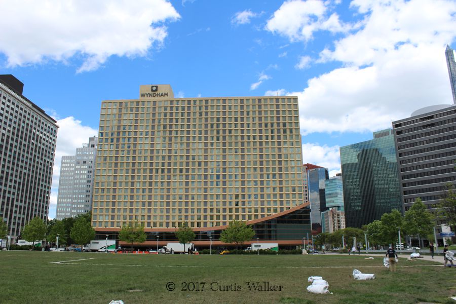
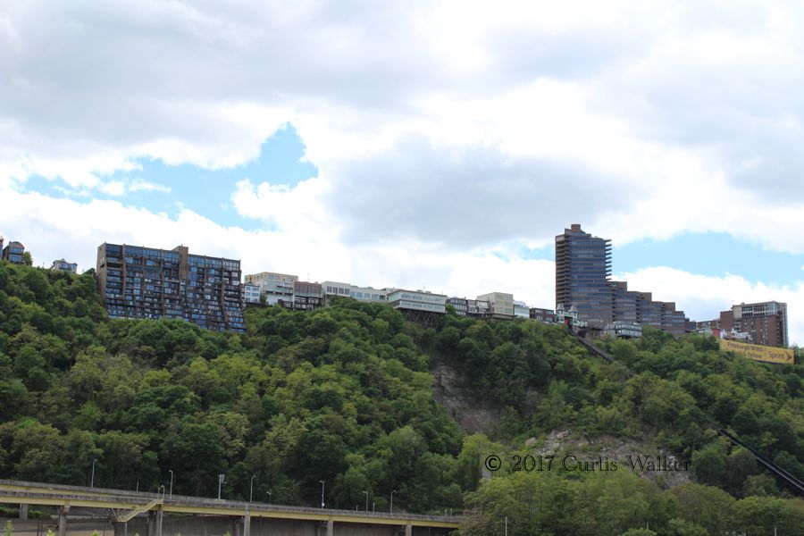
Looking back at the Wyndham Grand Hotel.
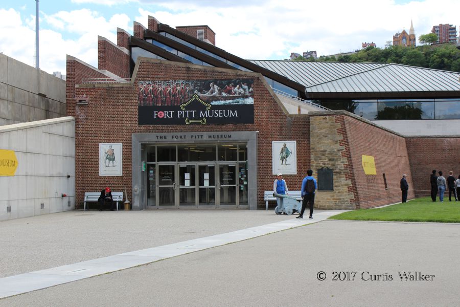
The Fort Pitt Museum, where only museum patrons can use their washrooms. The common folk instead have to use the public washrooms near the fountain.
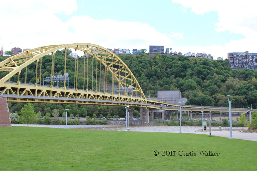
The Fort Pitt Bridge.
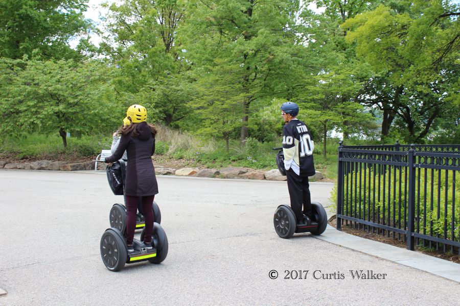
Segway tours are offered. We would also spot hybrid boats from Just Ducky Tours rolling through downtown that give one-hour land and water tours of the area.
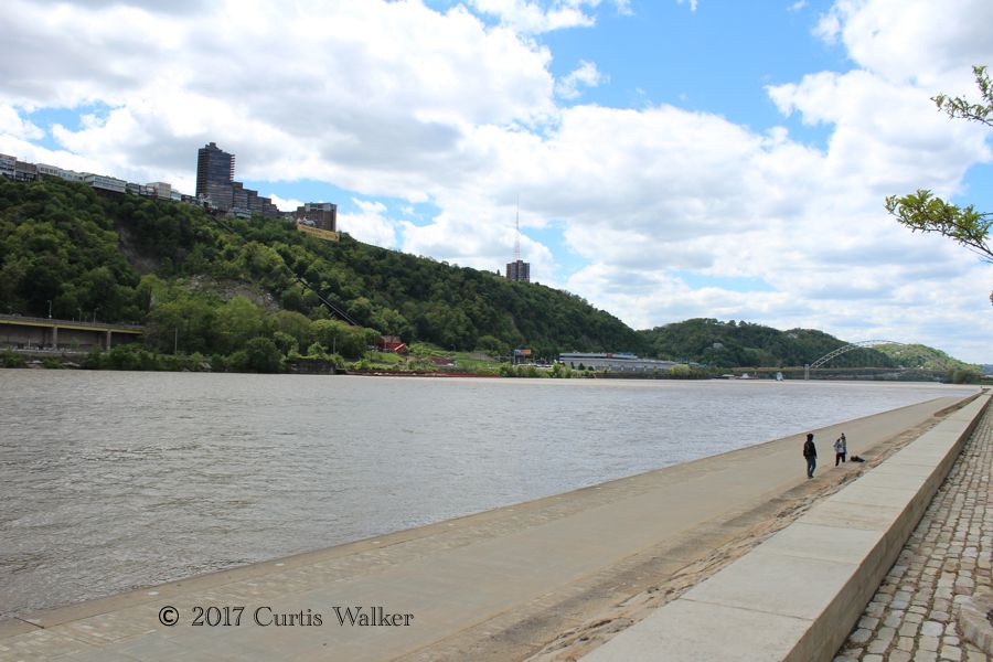
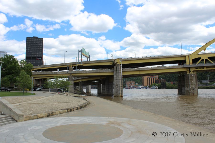
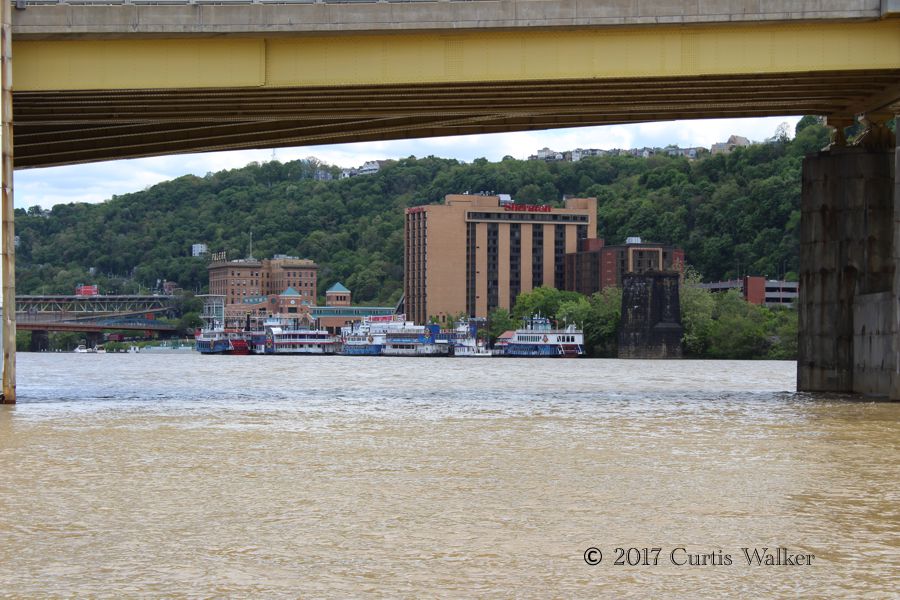
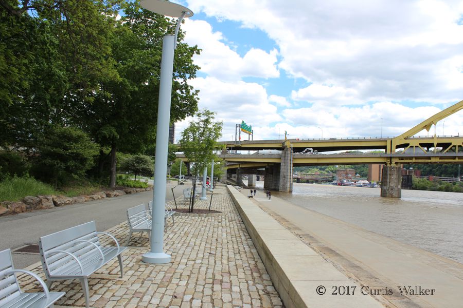
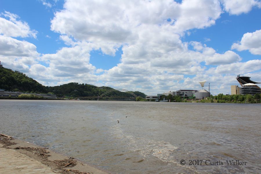
Along the shoreline.
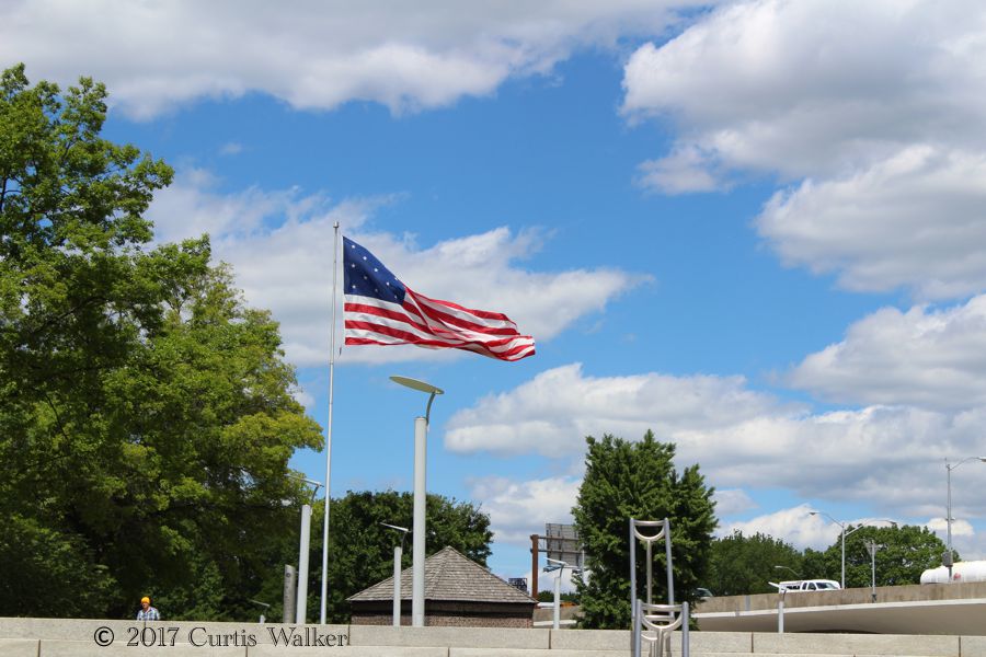
Here, a flag from the Thirteen Colonies era flies proudly.
Mount Warshington, as they would say in Pittsburghese. Rather than go over it, we went through it.
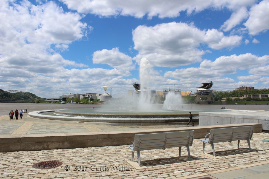
The fountain.
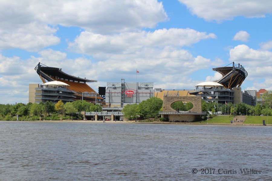
Heinz Field, home of dem Stillers. Hir we go, Stillers, hir we go!
Fort Duquesne Bridge.
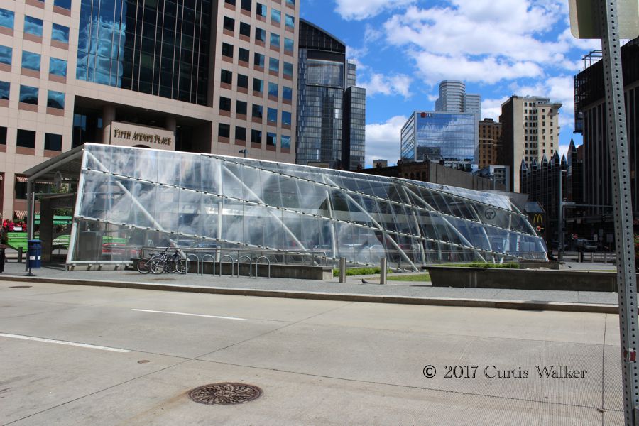
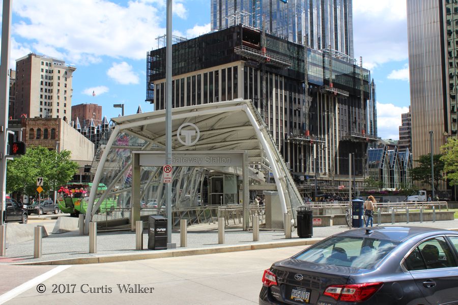
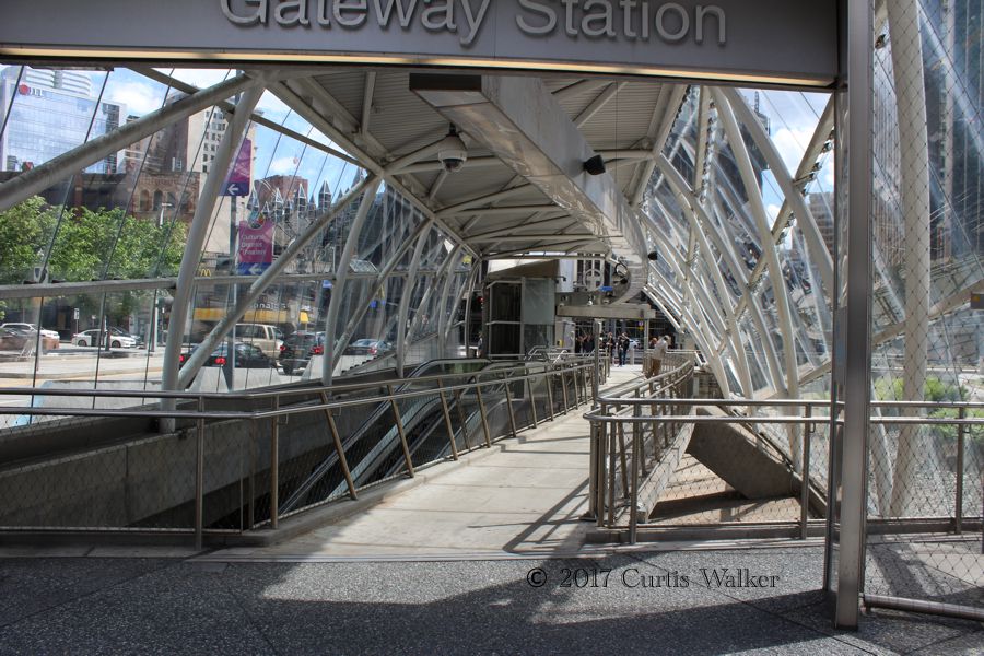
Leaving the park, we made a brief tour of downtown. This is Gateway Station, a terminal in the city’s light rail network that goes underneath both the Monongahela and Allegheny Rivers. Within the downtown area anna Norside (North Side in English), it is a free fare zone.
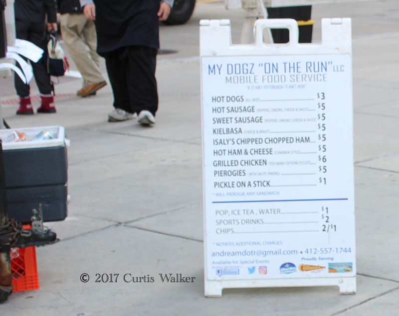
This sign for a “chipped chopped” ham sandwich, another bit of unique Pittsburgh vernacular, just jumped out at me as I recalled how my long-lost former colleague mentioned that his then-father-in-law had once said, “Eyes had a chipped chopped sammitch and eyes full.”
Far too soon, it was time to leave and we took I-279 north across the Fort Duquesne Bridge and back to I-79.
Following a short break at a rest area near Grove City, I spotted this cross near the road. Given the state of political correctness these days, I’m surprised any reference to a Christian religion near a public highway is permitted. No doubt, some perpetually offended SJW is just waiting to raise hell with PennDOT after getting “triggered.”
We stopped again in Erie before continuing east on I-90 toward Buffalo.
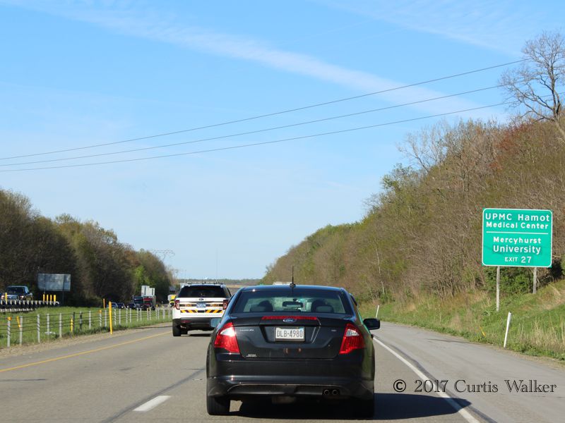
This sign, with the “UPMC Hamot” and “University” lines having been put in by simply placing a metal plate over the old wording, caught my attention. When wording needs to be changed, it is a refreshing, common sense approach to do it that way rather than replace the entire sign as they do in the SPRM. But I’m not bitter.
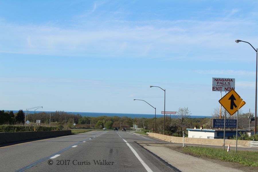
Passing through North East, travelers get a nice view of the lake. Anyone looking for information on Niagara Falls can also reportedly get it here, though why one would even look for information on the Falls in North East Township is beyond me.
Leaving the Commonwealth and crossing into the Great State of New York. The difference in the quality of pavement was palpable.
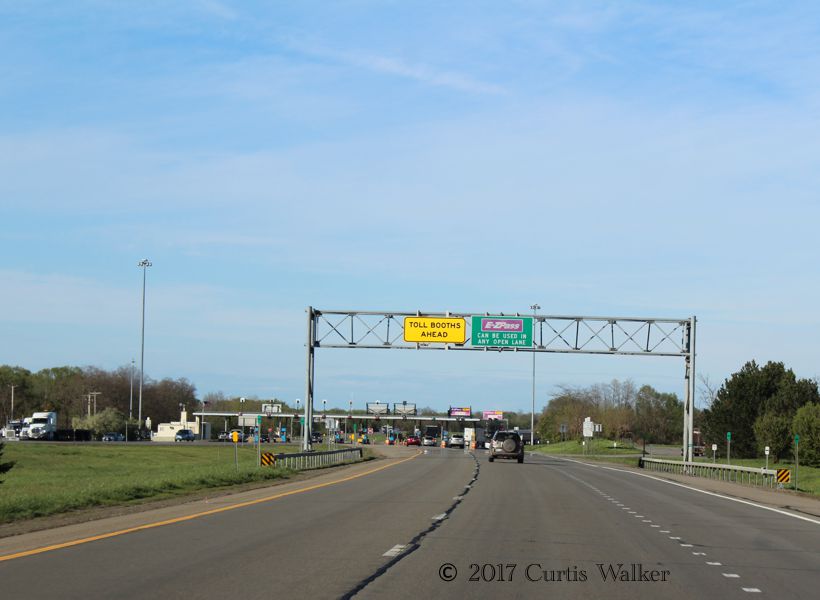
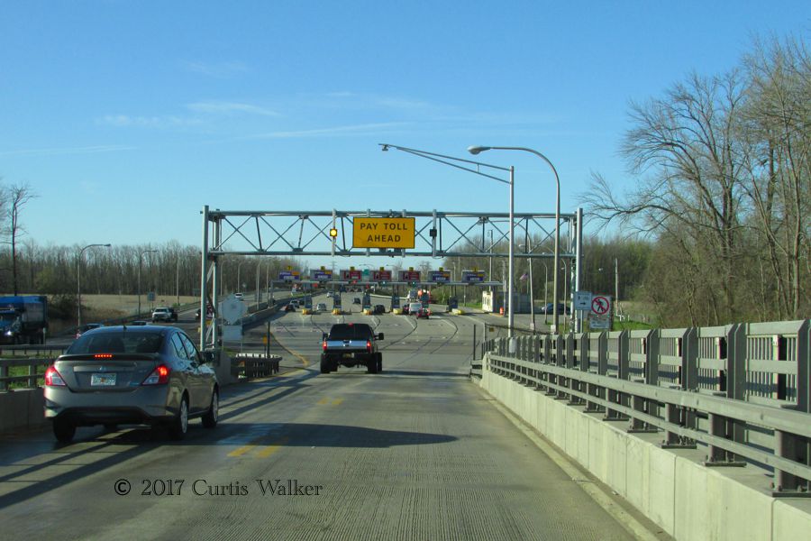
Here, we pass through the Ripley toll barrier, where the attendant was passing out tickets to motorists the way a business owner would hand out flyers on a busy street corner.
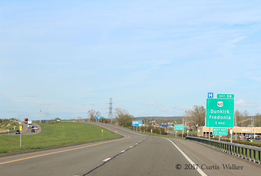
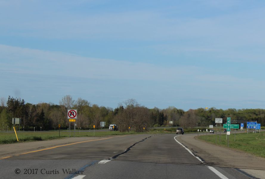
Maybe this only interests me, but the sign for Exit 59 uses the wrong shield for the intersecting NY 60. This is sadly commonplace in the Great State of New York, particularly so on US 62.
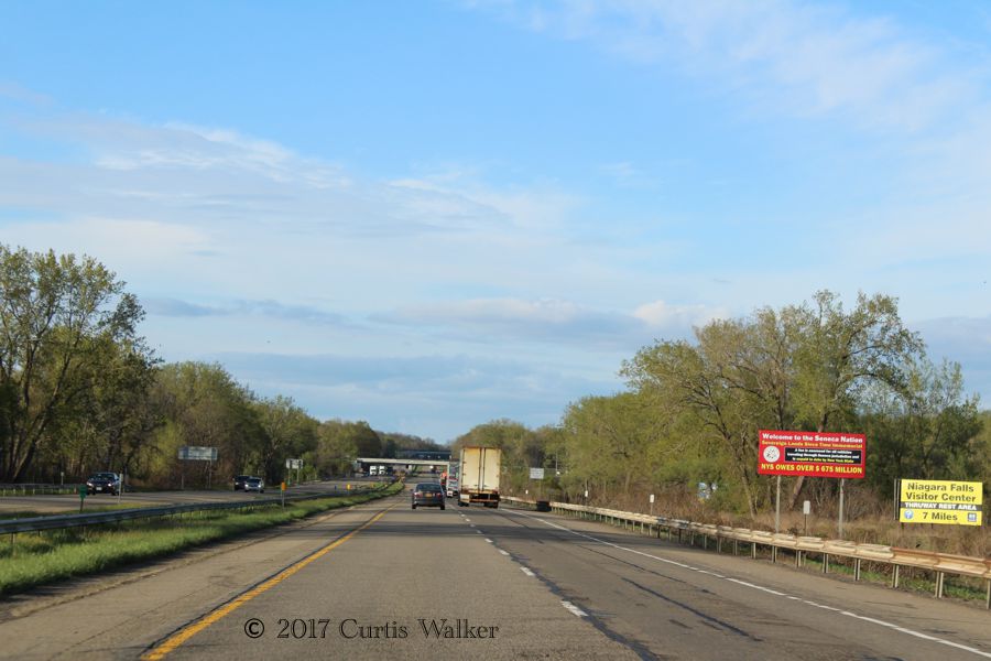
Here, we re-enter the Seneca “Nation.” On the sign, they claim the state owes them over $675 million for a toll they unilaterally claim for every motorist who passes through their “sovereign lands since time immemorial.” Um, yeah, whatever. Perhaps the state should make a similar claim for members of this “nation” when they leave their “sovereign lands.” In the meantime, fix the damn road.
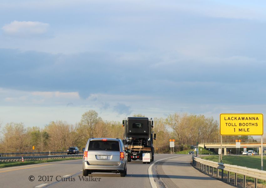
Apparently the Lackawanna toll booths are more special than the other toll booths along the Thruway.
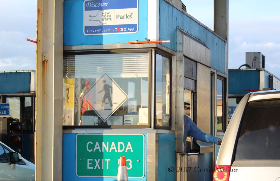
Preparing to pay the $3.15, I noticed these signs for Canada on every toll booth. Canada-bound traffic is evidently quite commonplace in this part of the world.
With the setting sun, we made it back across the border and home without incident to put an end to what was a long, but very enjoyable day, one that I’ll continue enjoying in retrospect for quite some time.
| Previous post | Next post |