Covering the Friendship Trail from Port Colborne to Fort Erie
November 4, 2014
Yesterday, as part of an epic 69-mile trek, I covered the Friendship Trail on two wheels from Port Colborne to Fort Erie for the first time. Knowing in advance that the entire journey from St. Catharines would be well beyond my range, I took Niagara Region Transit from the downtown bus terminal to Welland.
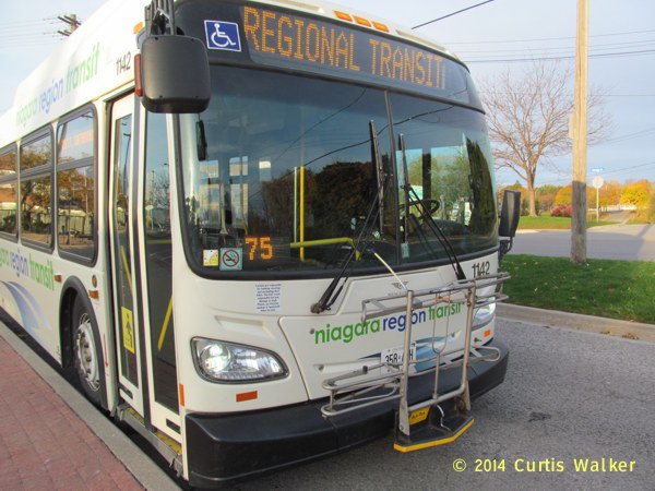
Every Niagara Region Transit bus is equipped with a bike rack and I found it easy to use. Instructions on the front direct you to pull down on the rack, where to place your front wheel and hook on the lever so your bike doesn’t end up as scrap metal as the driver speeds down the 406. Between St. Catharines and Welland, the bus only stops at the Pen Center, Brock University, the Seaway Mall and finally, at the Welland Transit Terminal, where I got off. The ride took less than 40 minutes and I was soon headed south towards Port Colborne. Niagara Region Transit does offer a link to Port Colborne, but those buses are not equipped with a bike rack, so cyclists like me have to get there on their own.
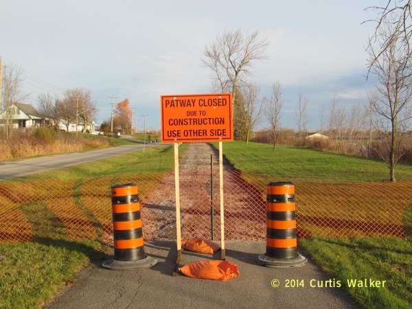
There were a couple of places where the “patway” was under construction south of Welland, but I went around them on side roads and was soon in Port Colborne.
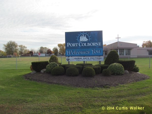
After a brief tour and some pictures, I made my way to the Friendship Trail, which is located at the south end of town, six blocks south of Killaly Street on the east side of the canal.
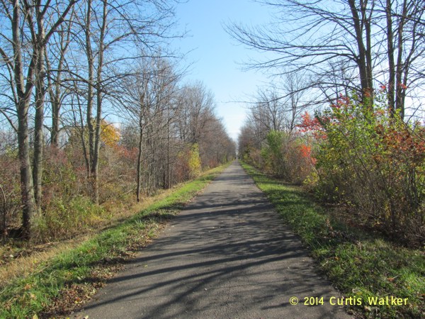
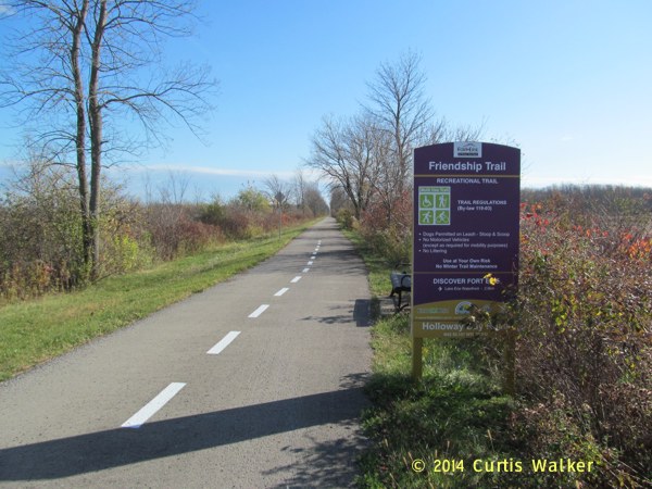
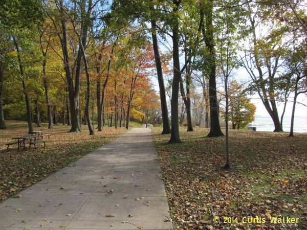
The trail proceeds due east towards Fort Erie in a straight line along very Saskatchewanized terrain. Though you are not far from Lake Erie, you will see very little of it on the route. Instead, you see plenty of bush and farmland. For the benefit of my friends reading from the SPRM, it reminded me very much of Birds Hill Park.
Looking at the map before going, I had underestimated the total distance. It turned out to be a total of 28 km from Elizabeth Street in Port Colborne to Mather Park in Fort Erie, where pedestrians and cyclists can access the Peace Bridge and cross into the U.S.
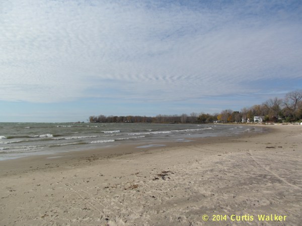
In Fort Erie, there are a number of public beaches easily accessible off the trail where you can get a good view of the lake. This was one such beach where I stopped for some pictures and a little rest.
Waverly Beach in Fort Erie.
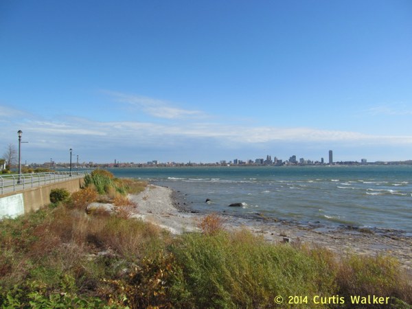
The Buffalo skyline.
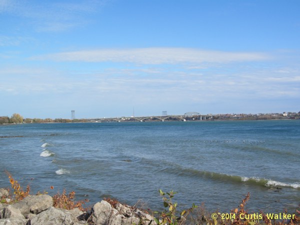
The Peace Bridge.
Along the route, there are plenty of benches where you can stop and rest, but much like the Niagara Parkway that I followed on my return trip, there are no bathrooms. When in Fort Erie, do your business there or forever hold your peace. Or hold something else.
Simply because of how far it was away from home, I don’t think I’ll be frequenting it that often, but for those a little closer or with transportation, it is a very nice, well-maintained trail that is another significant asset for cyclists in the region.
| Previous post | Next post |